This article will be a little different. It won’t be about a walk or a hike; it will be about places you can easily visit—you just need to want to go and know about them ☺ … We’re going to the Croatian village of Cetina.

*The Village of Cetina*
This small village in the foothills is located in the Dalmatian interior on the slopes of the Dinaric Alps at an elevation of 385 meters above sea level. It is approximately 80 km from Split and 33 kilometers from the nearest town, Knin. In 2011, the population was 195. By contrast, in 1991, there were 853 residents. The locals who live here are primarily engaged in agriculture.
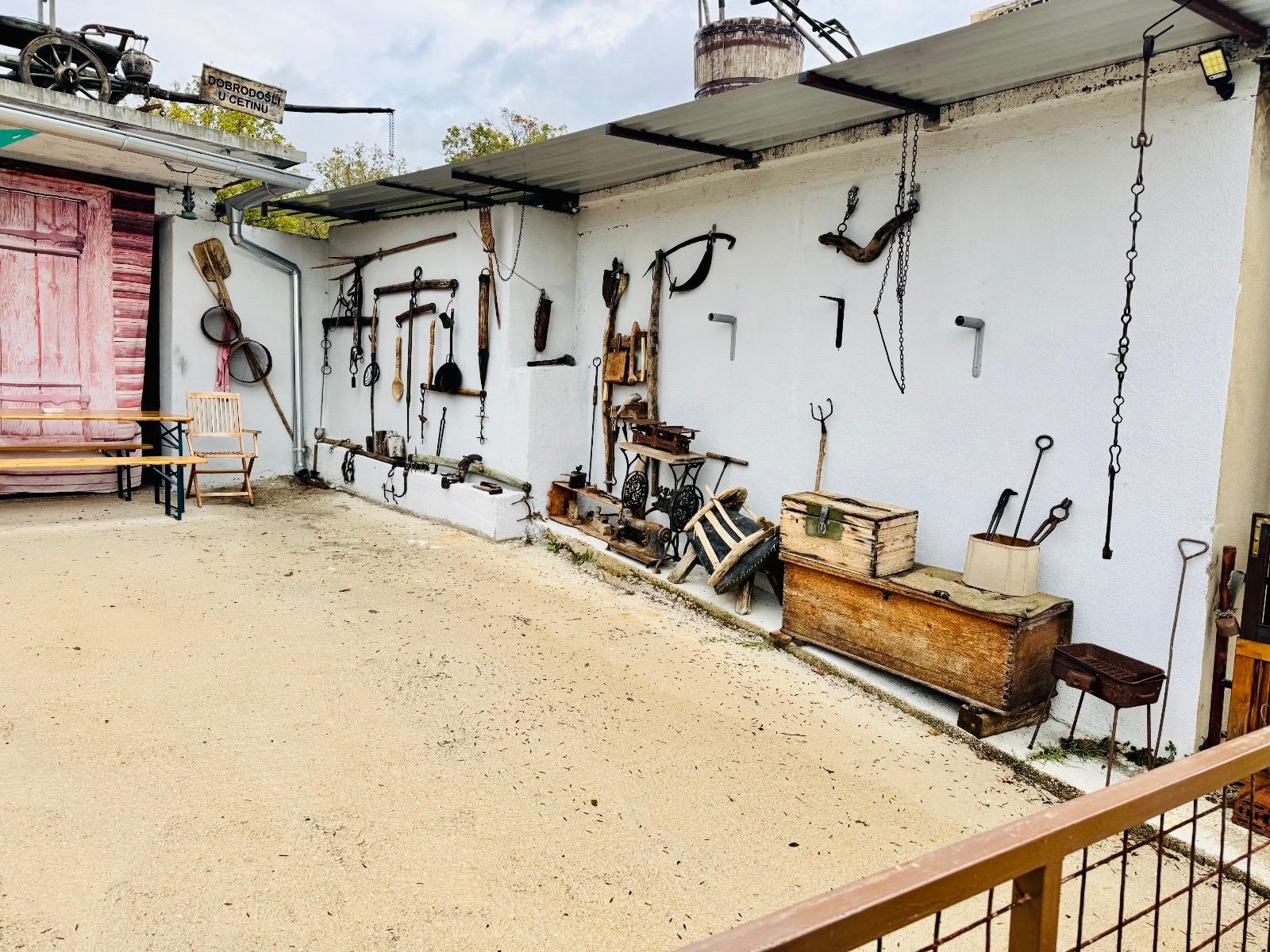
However, the village was not always called Cetina. This area has been inhabited since prehistoric times; in antiquity, it was known as Delmata. In the Middle Ages, it was the settlement of Vrhrika (Vrlika), the seat of the Vrhrika County. During the Ottoman conquests, most of the population moved to the nearby town of Prozor (today Vrlika), which was better fortified. It was once an important and prosperous village; today it is largely deserted, with many houses in ruins. But despite all the misfortunes that have befallen Cetina in the past, it is beautiful. The population consists mostly of older people, but every encounter and conversation with them is a joy and a source of encouragement. And even though the demographic situation has improved in recent years, it still isn’t what this region deserves.


*One of Dalmatia’s gems—the Cetina River*
The river flowing through the village of Cetina bears the same name. It does not have just one source, but begins its course at three different locations. Later, these sources merge into a single river. The river flows through the Peručko Lake reservoir and then, more than 100 kilometers further on, empties into the Adriatic Sea near the town of Omiš.
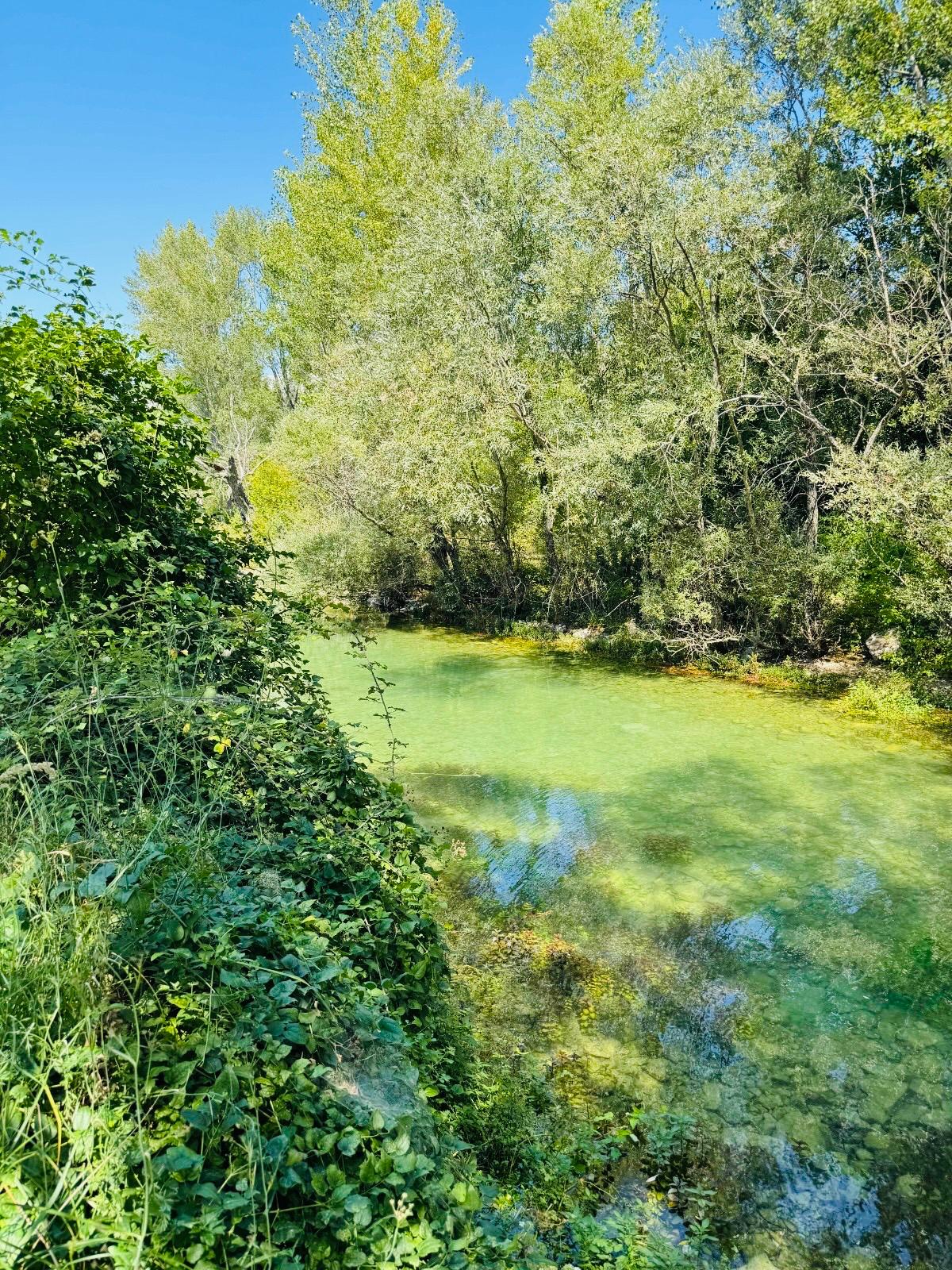
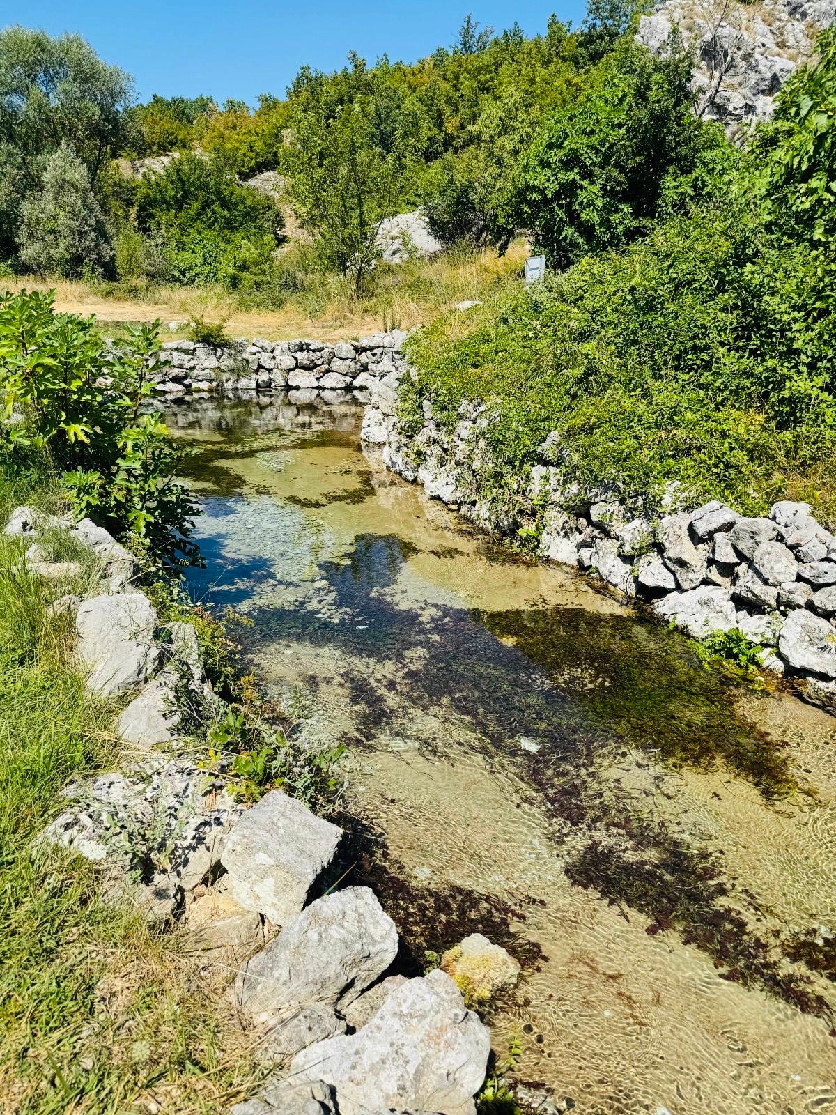

We’ll take a look at the largest spring of the Cetina River—a true gem in a beautiful setting—which has several names: Veliko vrilo, Eye of the Earth, or Dragon’s Eye. It’s located right in the middle of the village, so all you have to do is park and you can admire this beautiful natural wonder from above. The mystery surrounding it is that no one has ever managed to measure the exact depth of the spring. Reports on its depth therefore vary; according to some sources, a depth of 155 meters was reached, but that was far from the bottom. A diver even lost his life here during attempts to measure the depth.
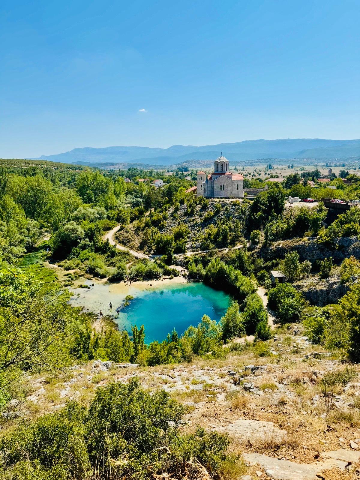
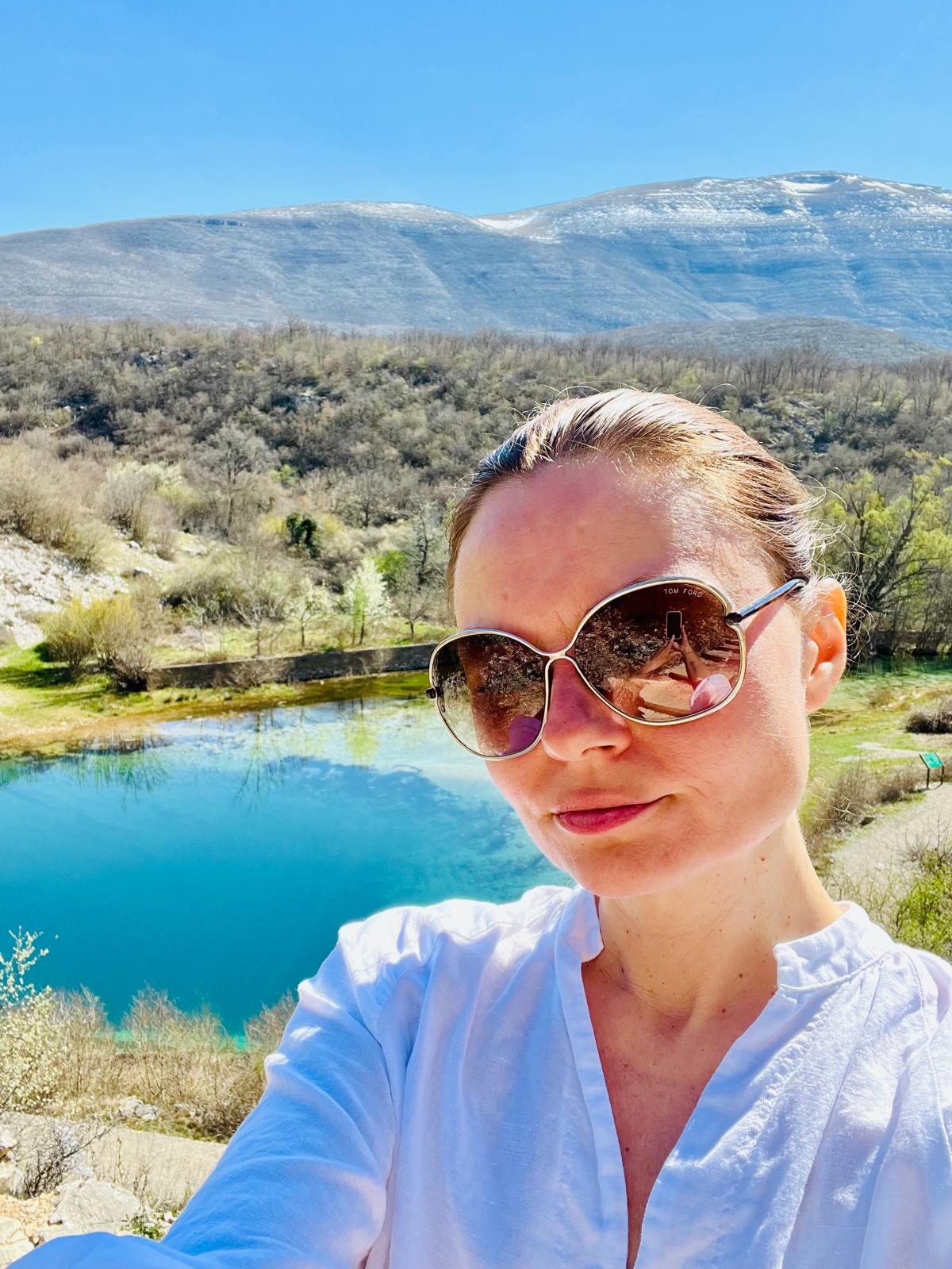
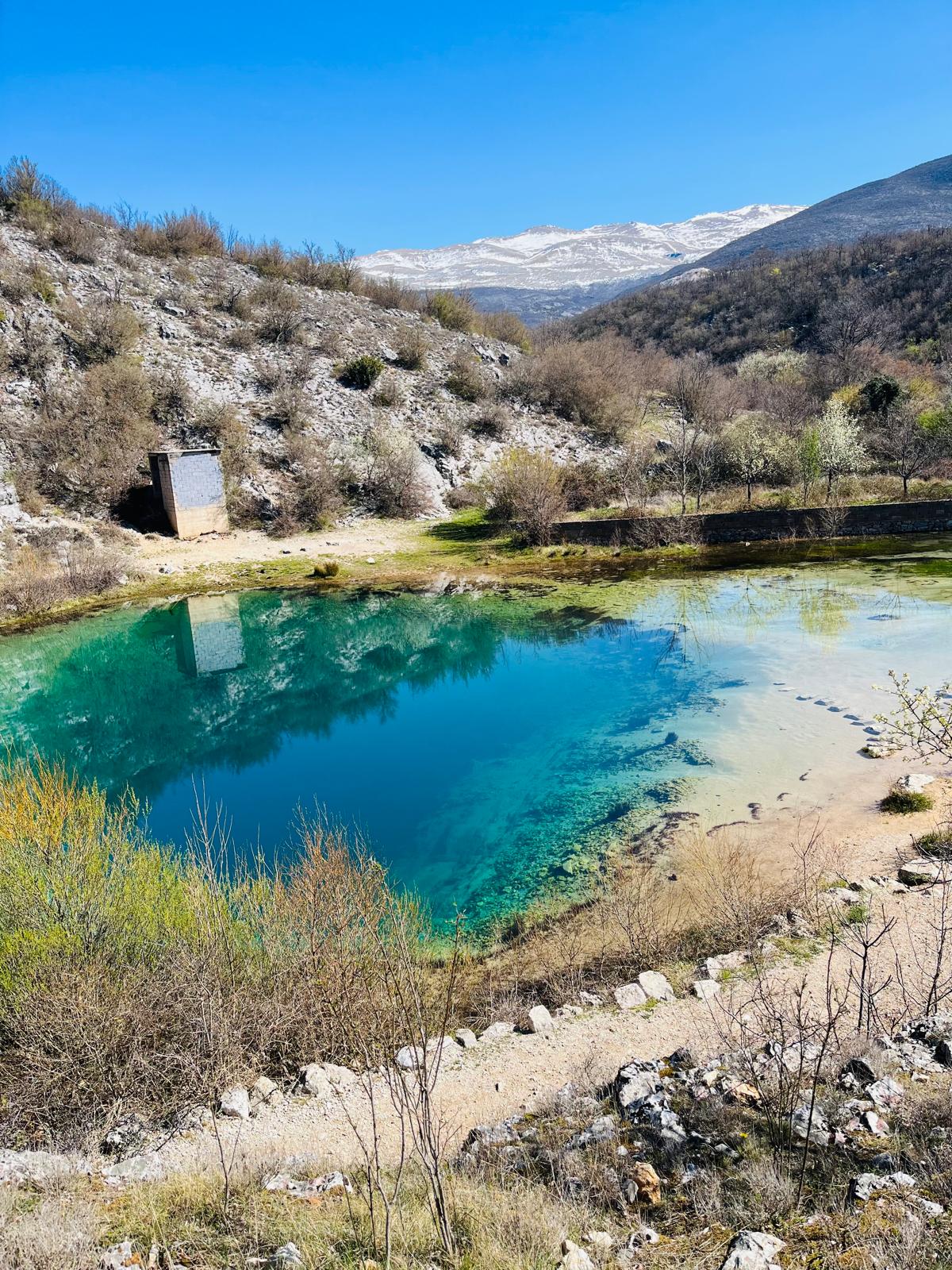
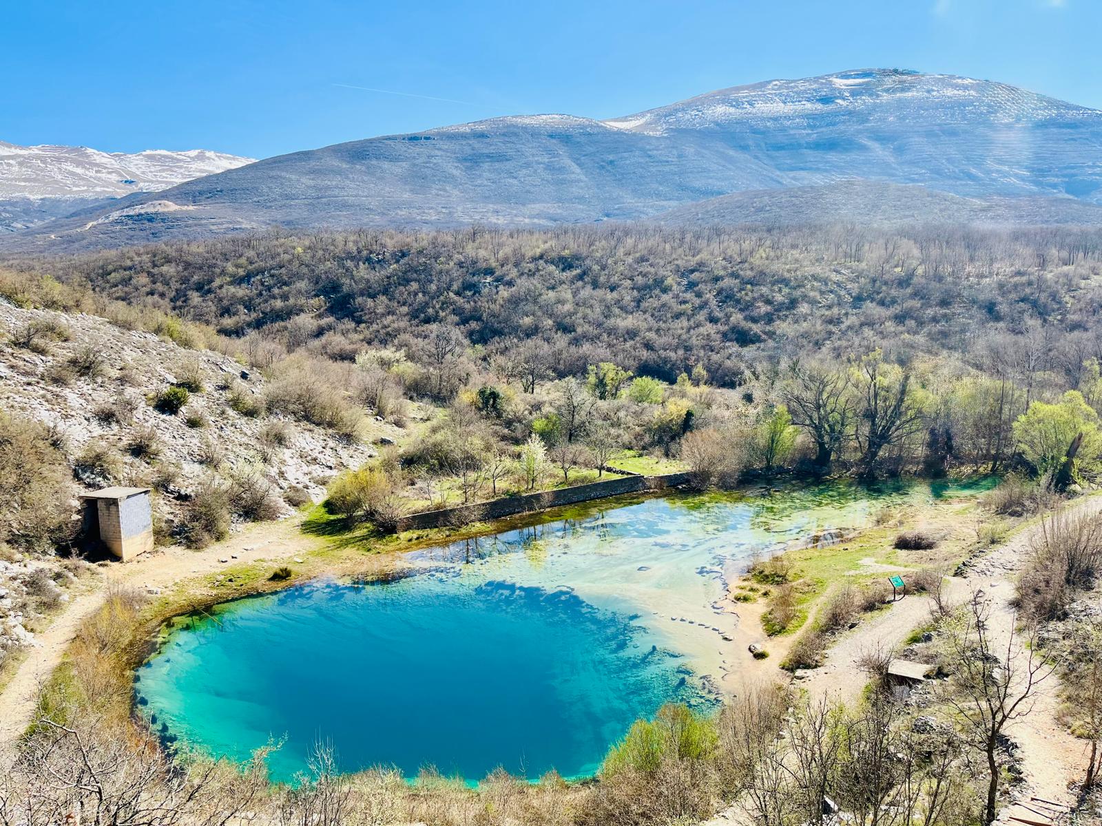
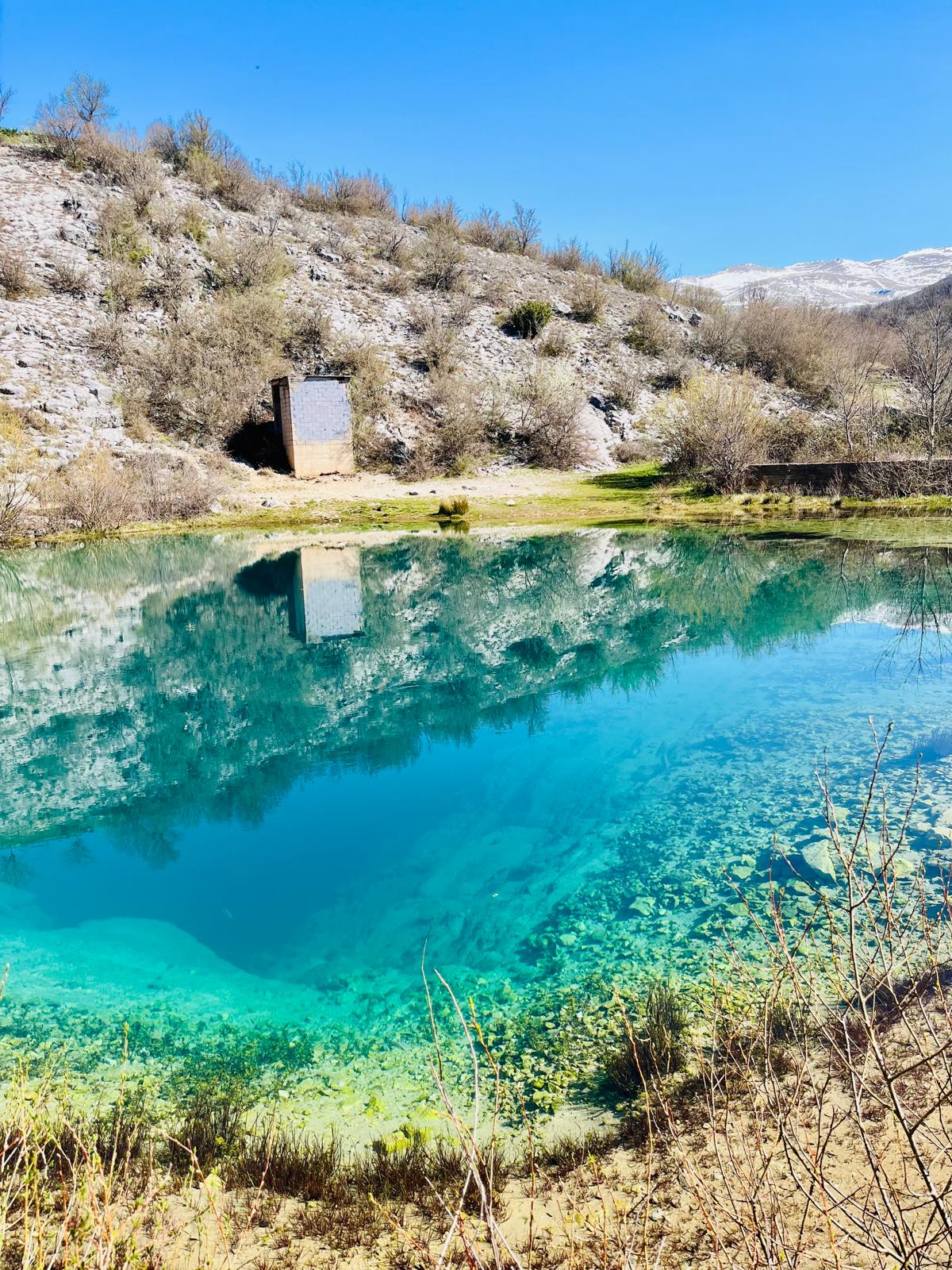
The water in this natural formation shimmers in various shades of blue and green. The water is crystal clear and ice-cold even during the hot summer months. Swimming is prohibited here, though this rule is regularly broken. You can walk down to the lake or stroll around it.


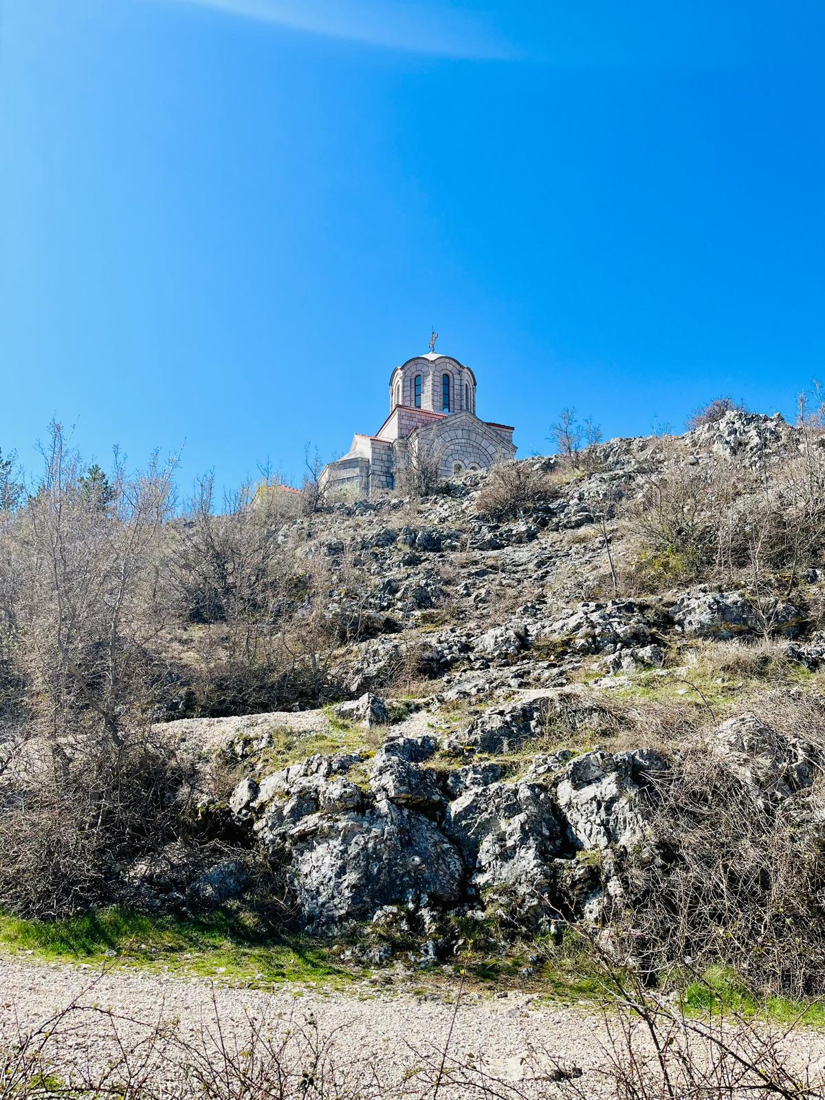
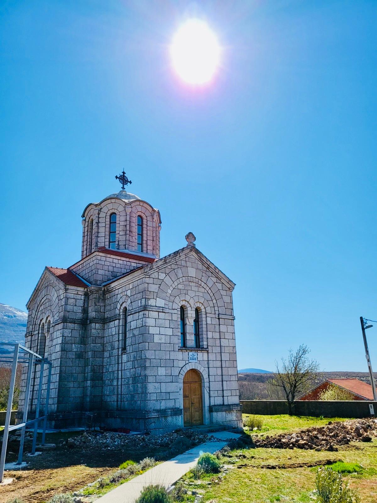
The “Eye of the Earth” includes the Orthodox Church of the Ascension of the Lord (Crkva Vaznesenja Gospodnjeg). Its construction was financed in 1940 by Marko and Jelena Četnikovci of Belgrade, Serbia. The church was destroyed during World War II. It was rebuilt in 1974. During the civil war in the 1990s, the church was burned down (1995). Today, however, it stands once again and continues to fulfill its purpose, with regular services held there. Together with the “Eye of the Earth” and the surrounding natural landscape, this church creates a breathtaking scene.


*Gospodska pečina*
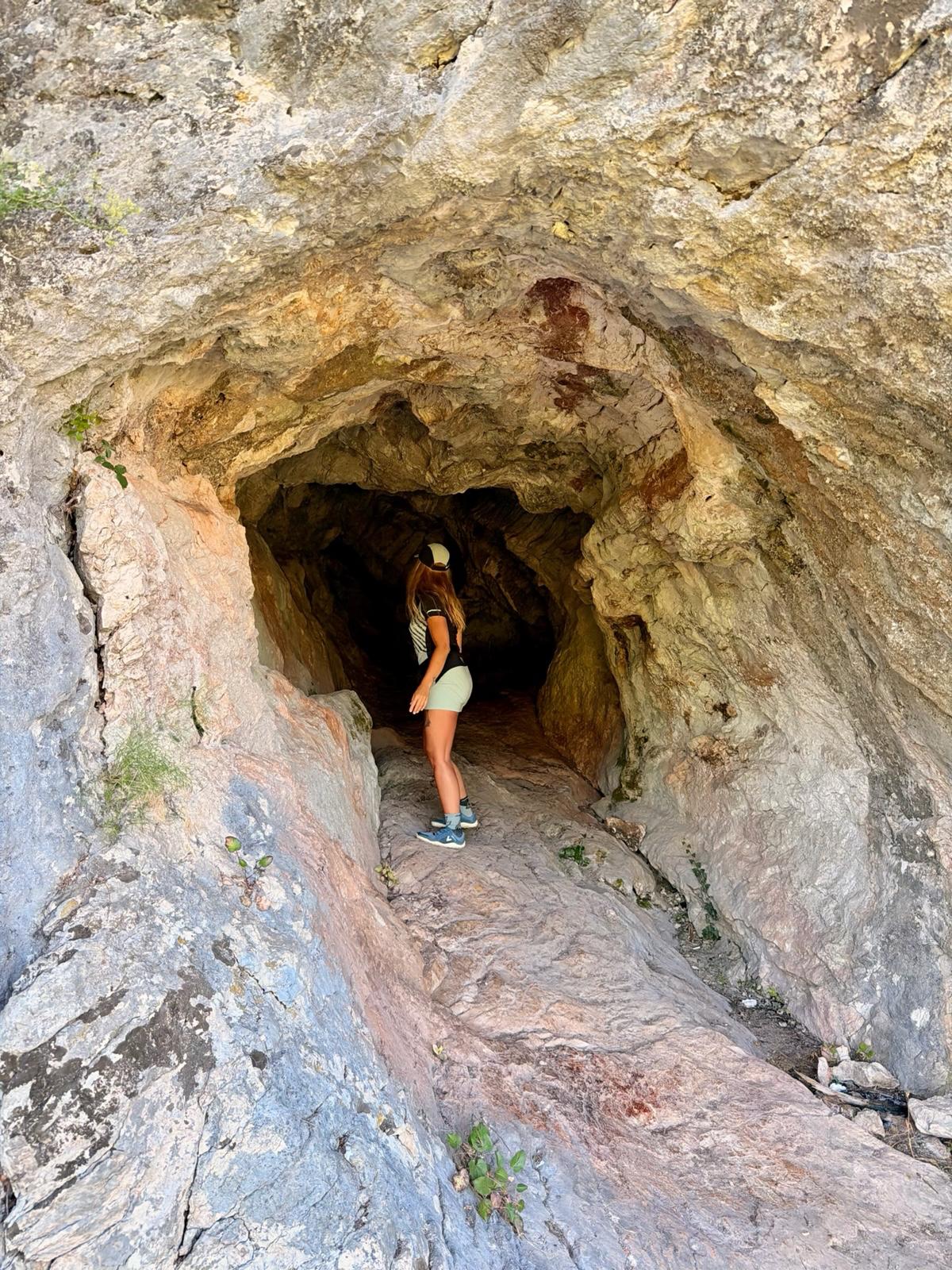
If you decide to walk about 800 meters from the parking lot along the paved road up a gentle hill (toward the mountain village of Kusonjići), you might find Gospodska Pečina (cave). I say “you might” because not everyone who has gone in that direction has actually found the cave. There are no signs leading to it from the paved road, so an online navigation app will help you find your way. The cave is 2,080 meters long and ends with an underground lake. It is also the oldest archaeological site in the Knin area (according to historical sources, people lived here as far back as 35,000 years ago).
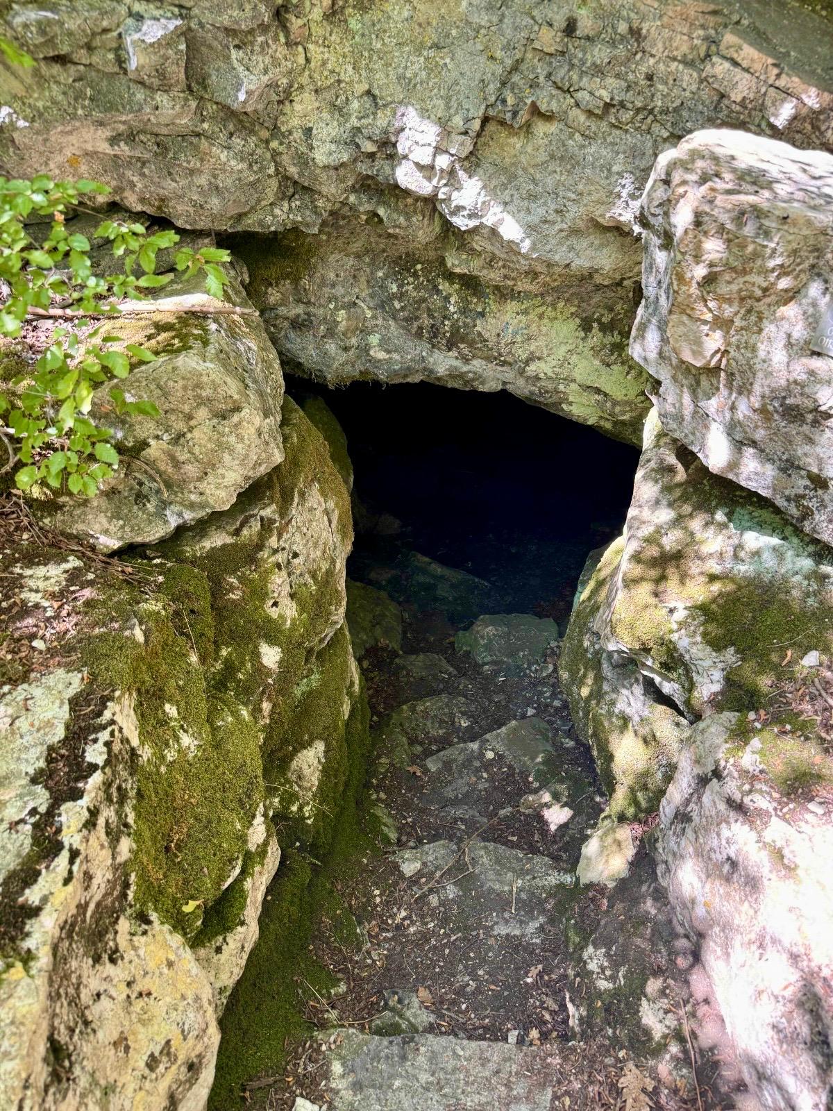
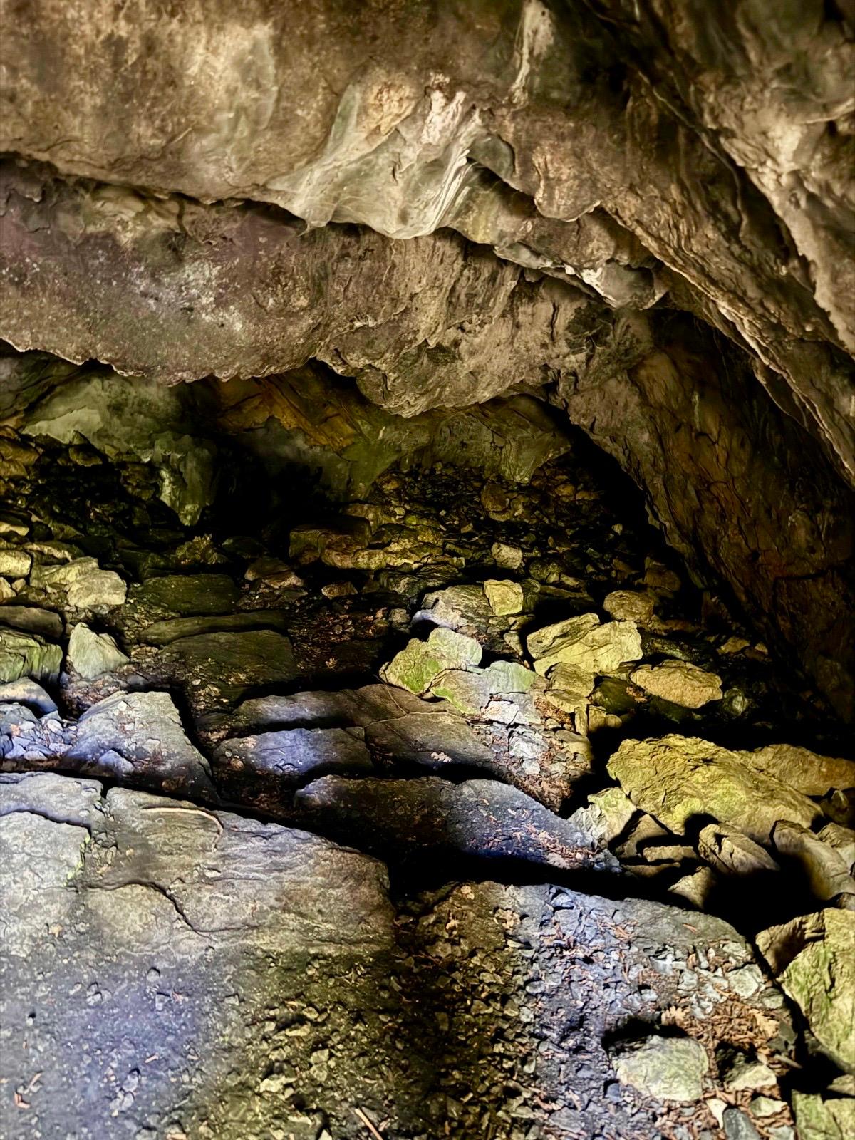
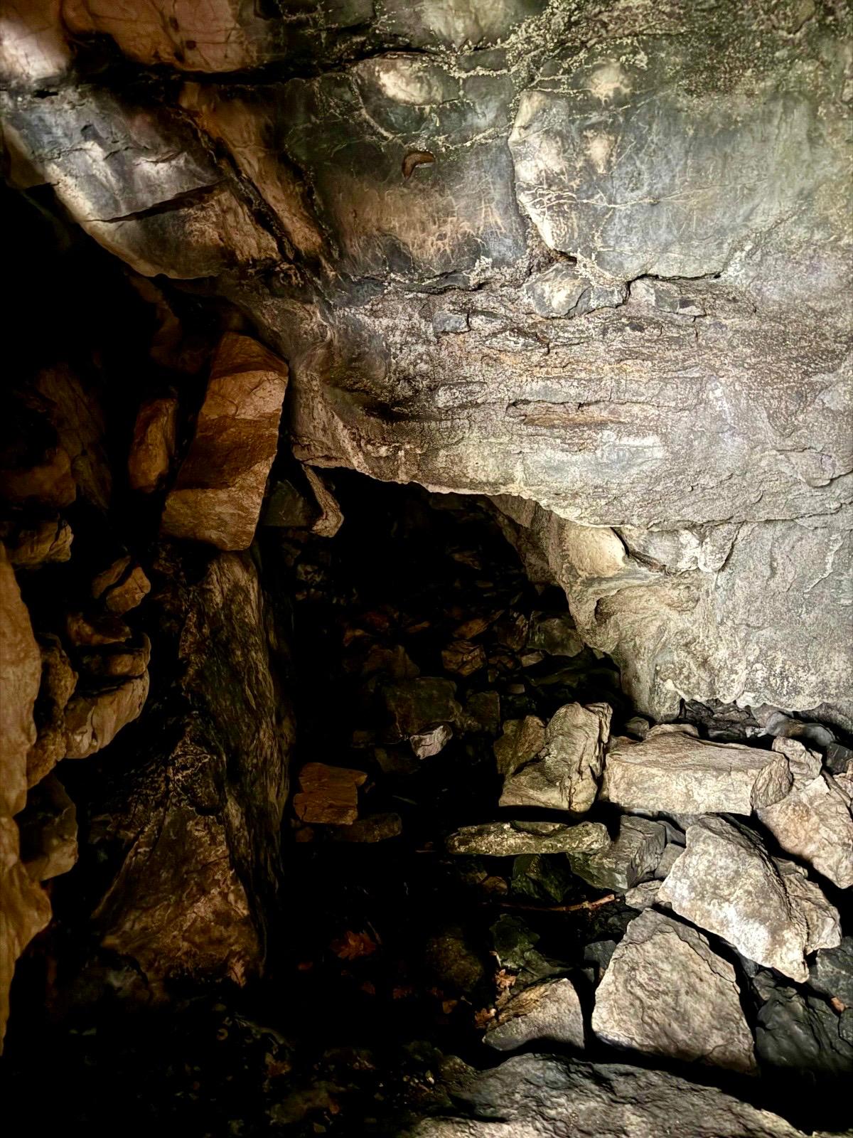
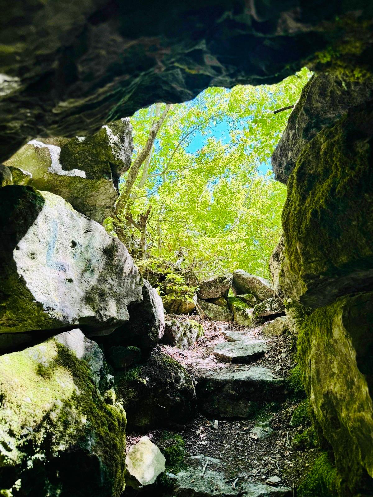
The cave was first described by speleologist Ivan Lovrić in 1776. The remains of a cave bear, a Paleolithic stone scraper, a Neolithic stone hammer, and fragments of prehistoric pottery have been found here. The beetle Lovrićia jalzici was also discovered here; it is listed in the Red Book of Croatian Cave Fauna. No other location where this species inhabits has been identified so far.
*Church of the Holy Savior*
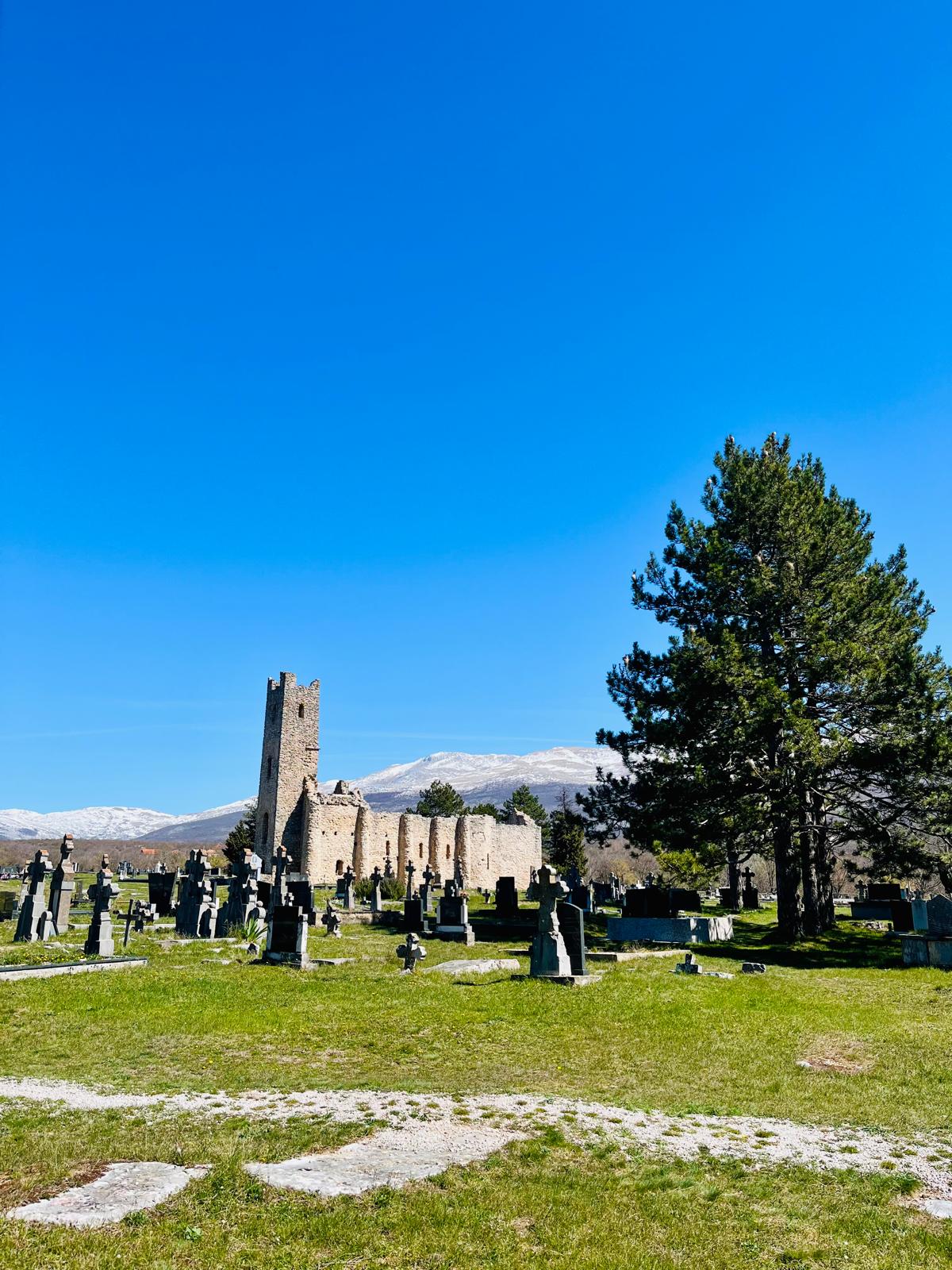
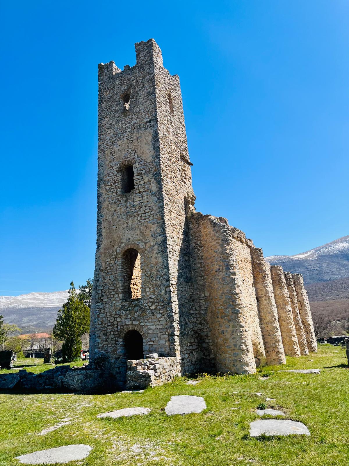
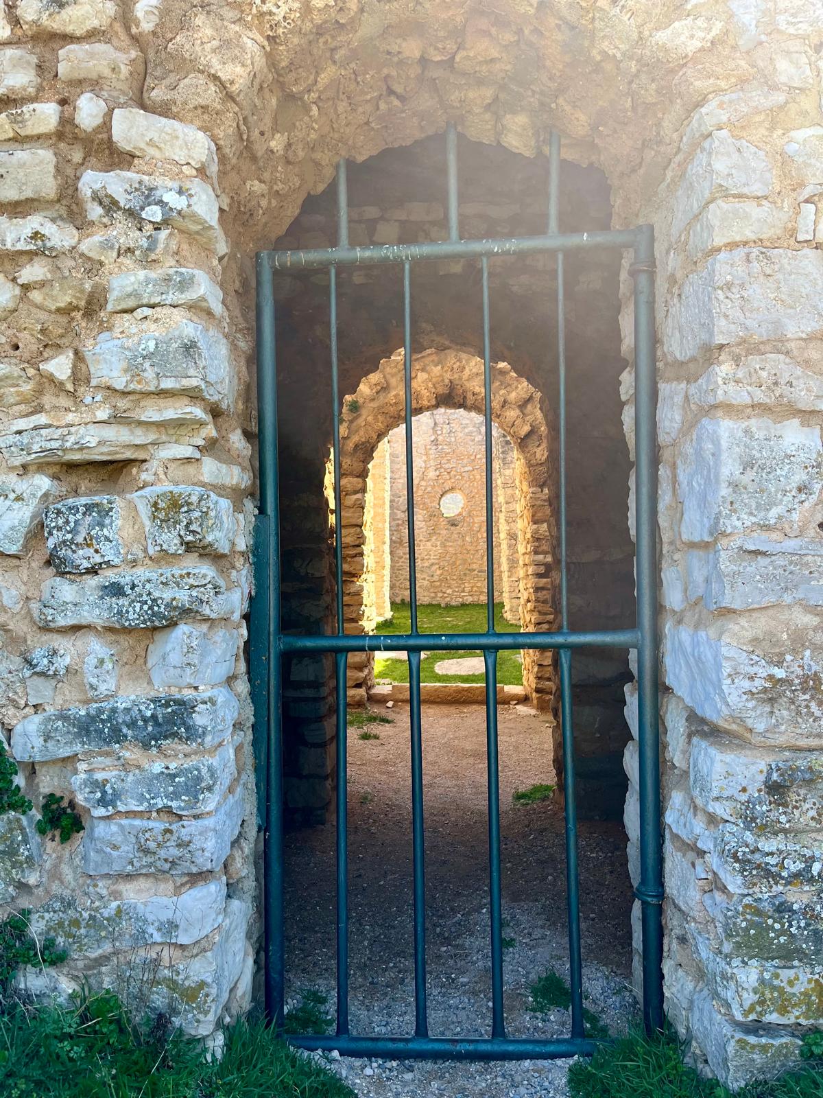
From the parking lot, simply walk about 600 meters toward the village of Marijani, and you’ll find yourself in an oasis of peace with a mysterious atmosphere. You’ll enter the grounds of the old cemetery and come to the ruins of the Church of the Holy Savior (Crkva Svetog Spasa). There, you’ll see the ruins of a pre-Romanesque religious building.


I know that this national monument has often been the subject of disputes between Orthodox believers and Catholics. Therefore, I would like to state right away that in describing its history, I am drawing on multiple sources as well as interviews with local residents. The position of the Serbian Orthodox Church is that this church was built in 1391, following the Battle of Kosovo Field (1389). The permit was reportedly issued by King Stefan Tvrtko I.
According to the Catholic Church, this church was built in the last quarter of the 9th century by the local governor, Gostih. If this is true, then it is one of the oldest and best-preserved examples of medieval church architecture in Croatia. It is distinguished by its bell tower, which still stands today. It is surrounded by an extensive necropolis with approximately 1,200 medieval graves, in which various artifacts have been found. The site is freely accessible to visitors.

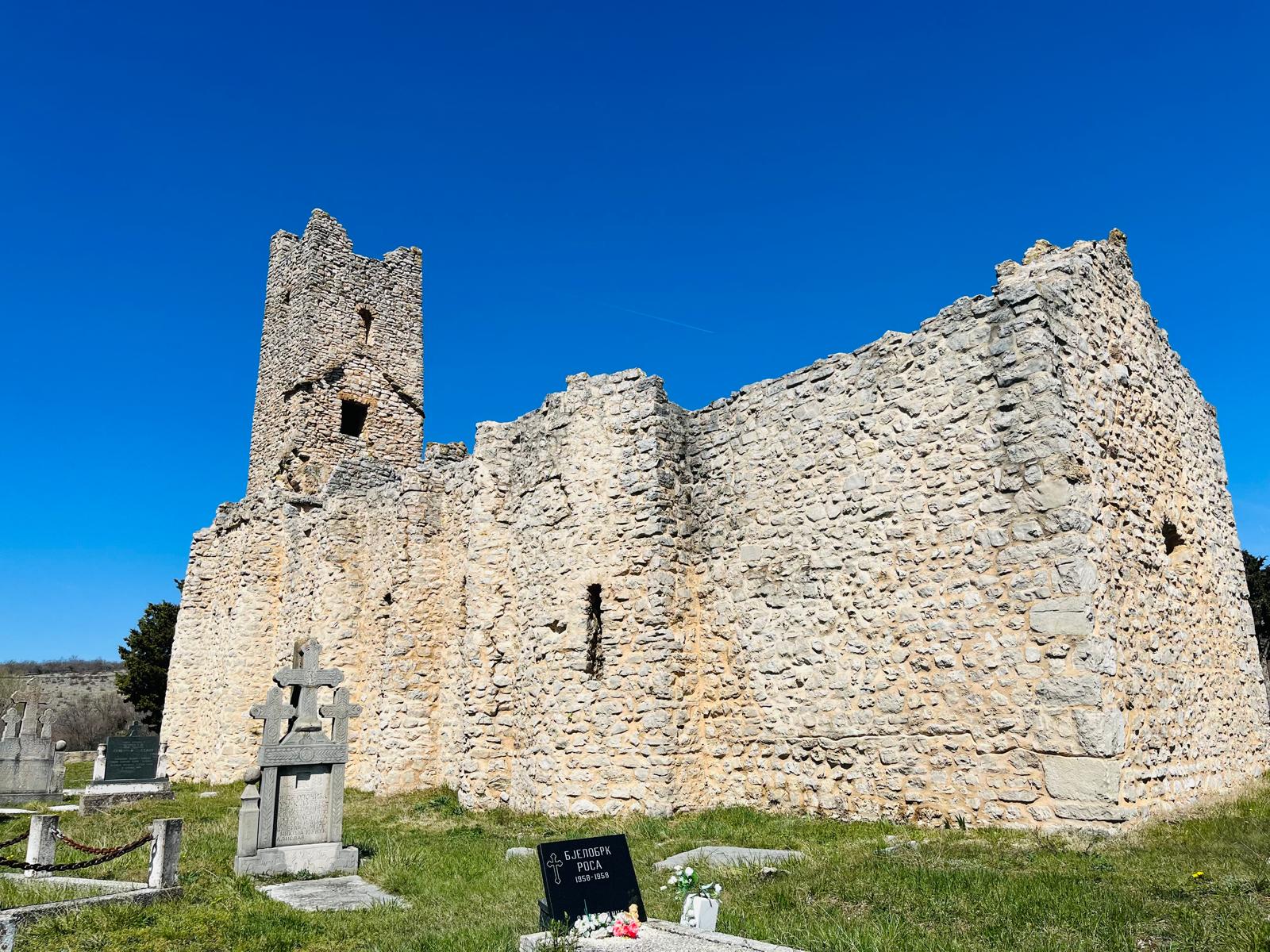
According to historical sources cited by the Catholic Church, this church was built during the reign of the Croatian Prince Branimir. This was done at the recommendation of Pope Stephen VI.
In 1492, Ottoman forces attacked this region and caused enormous damage to it (including the church). This led to the departure of the original inhabitants to safer places. The Ottoman attacks in the early 16th century culminated in the complete conquest of inland Dalmatia in 1525. As a result, the site where the ruins are located was abandoned for centuries.

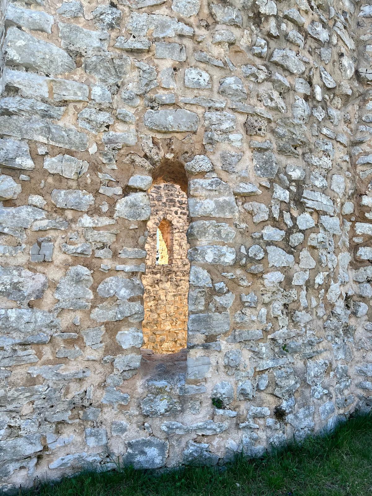
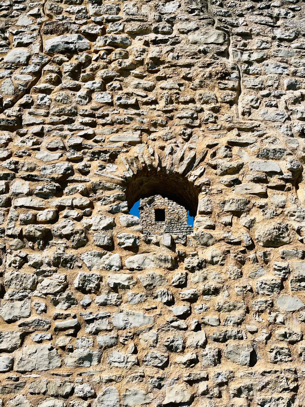

Attention began to be paid to the church only at the beginning of the 20th century, thanks to the efforts of the Franciscan monk and archaeologist Luje Marun. These efforts were blocked by the Orthodox communities living in the area. Archaeological work began after World War II under the leadership of archaeologist Stjepan Gunjača (1947–1954). His team uncovered approximately 1,026 Old Croatian graves dating from the 9th to the 11th centuries, along with various artifacts. These are now housed in the Archaeological Museum in Split.
*Barišića-pećina*
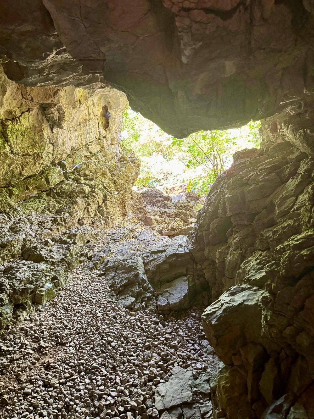
Pećina = cave. You can reach it by walking 750 meters from the parking lot toward the Barišići neighborhood; after crossing the bridge, turn left. You’ll see the entrance to the cave among the trees.
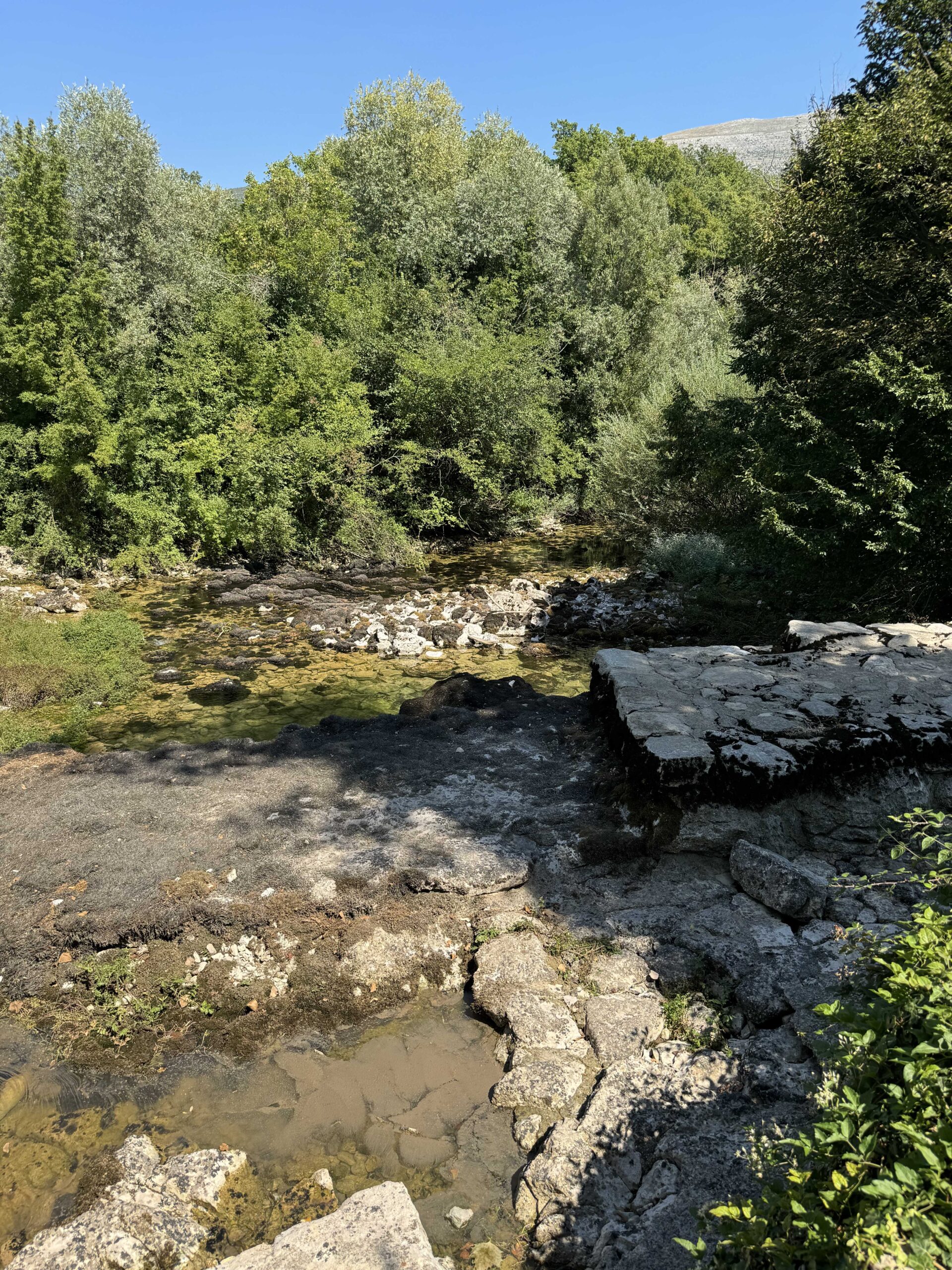

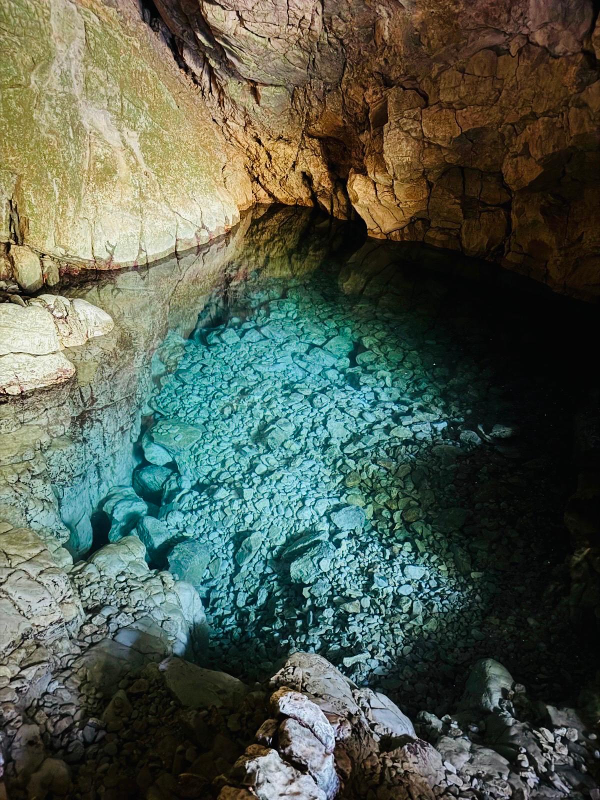
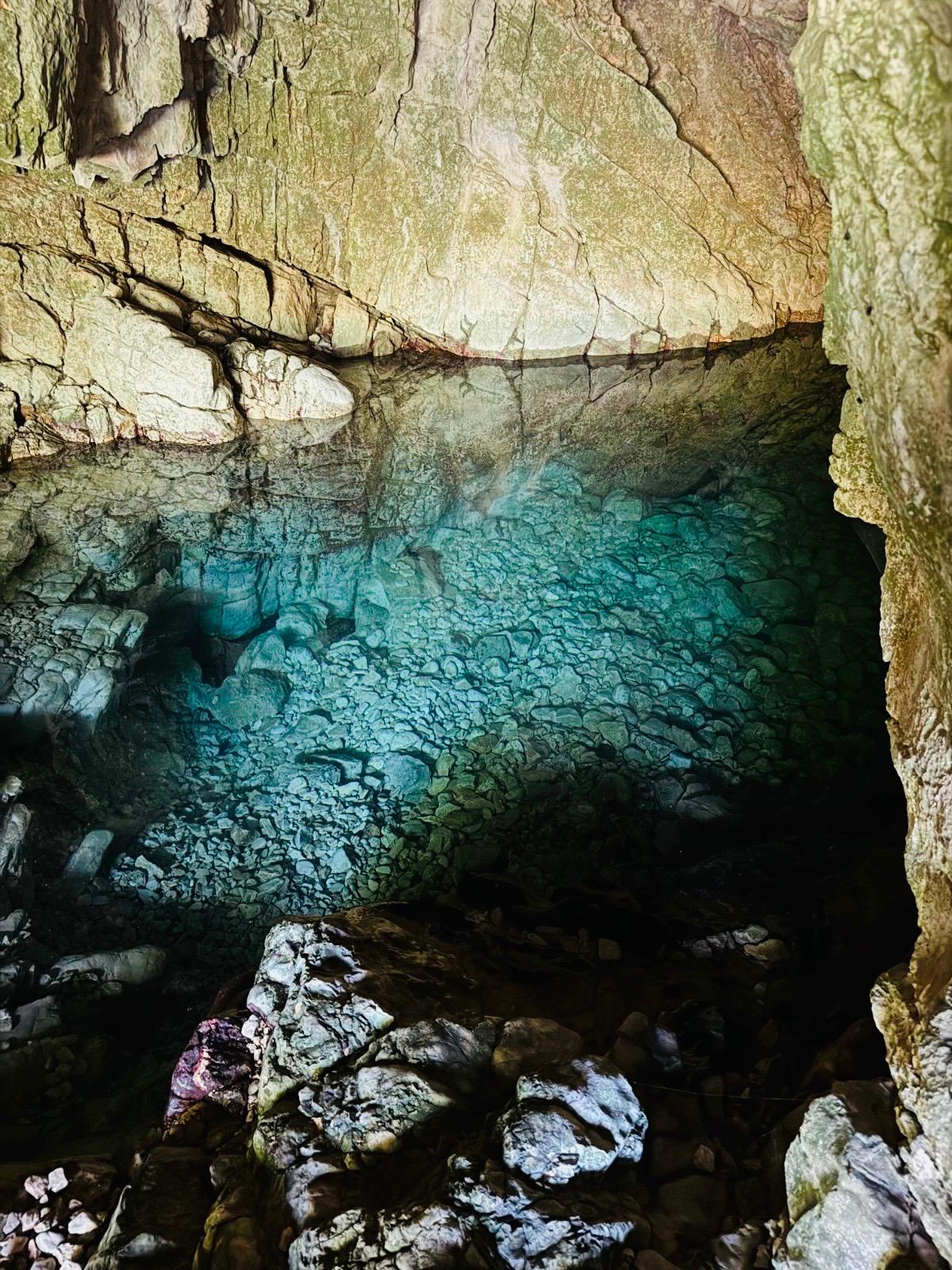
The most interesting part, however, is hidden inside the cave. There is a small lake inside, up to 2 meters deep. During the summer months, this spot can also be used as a natural swimming pool. It’s not immediately clear where the water comes from, but I assume it’s connected to the Cetina River via an underground passage. The pond has a beautiful color, which helps create a pleasant atmosphere in the cave.

Those were just a few “highlights” worth seeing around the village of Cetina. Of course, there’s more to explore. You can explore other headwaters of the Cetina River, take a trip to Lake Peručko for a swim, or set out along the Via Adriatica hiking trail toward the ridge of the Dinaric Alps. Accommodation options in the village of Cetina itself are limited, but you can find something ☺ … Other options for exploring this region include the hamlet of Glavaš (the starting point for the hike up Croatia’s highest peak, Sinjal), the town of Vrlika, or the village of Kijevo. So go for it … ☺
If you decide to follow in my footsteps and need advice on accommodations, food, hiking trails, or other ways to spend your time in Dalmatinska Zagora, feel free to contact me via email at ajka@uzisibalkaninak.com, my Facebook page “Enjoy the Balkans differently” or Instagram.
P.S.: All photos are protected by copyright 🙂