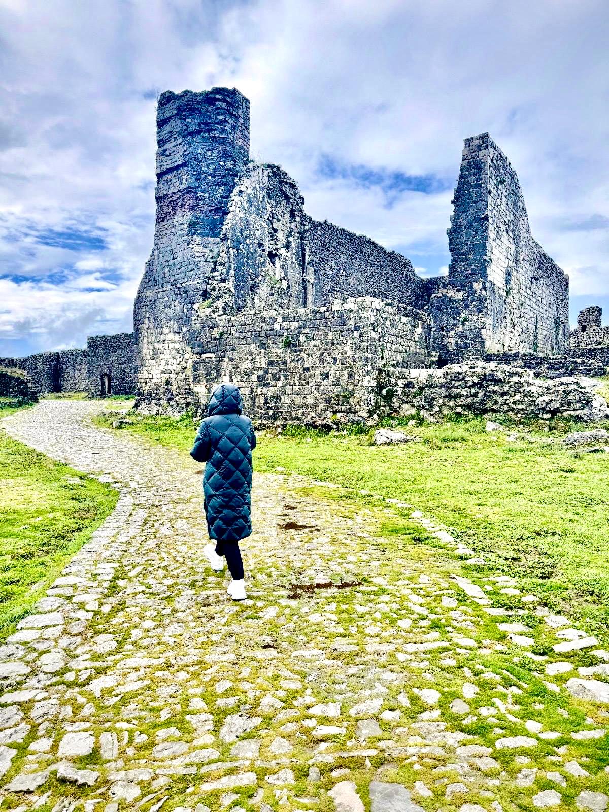
Let’s be honest, how many of you have heard of the mountain range in Dalmatia, Croatia, called Poľjička Planina? I’d bet very few of you have. But that’s okay, because I’d love to take you there. It’s not exactly a mountain range with dizzying heights, but there’s definitely plenty to see. Among other things, this route is part of the famous Croatian tourist route, the VIA ADRIATICA.
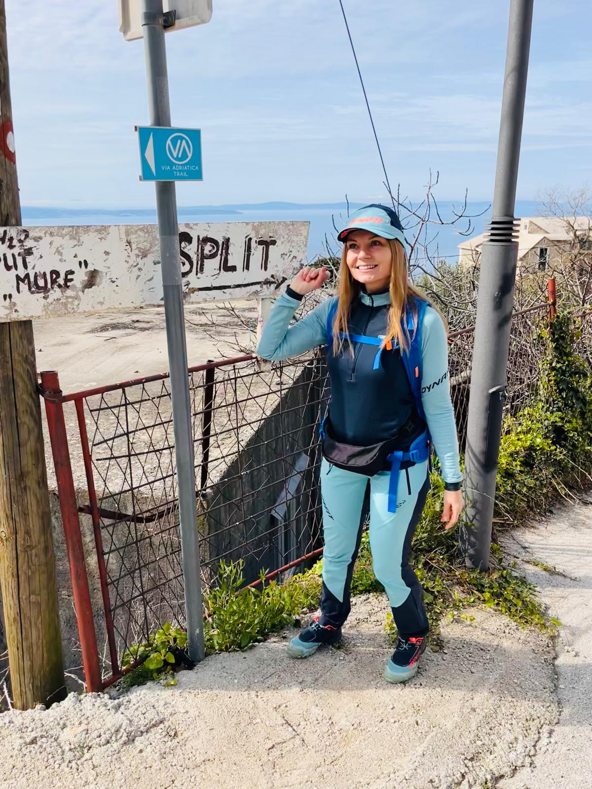
*Poľjička planina*
The Poľjička Plateau is one of Croatia’s lower mountain ranges (its highest peaks do not exceed 600 meters), stretching parallel to the coast from the course of the Žrnovnica River near the village of Stobreč (Split) to the mouth of the Cetina River in the town of Omiš, where it flows into the sea. It was the Cetina River that divided one mountain range into two—the Poľjička Plateau and the Omiš Dinara—when it cut through the coastal mountain range, and the town of Omiš was founded along its course. Some people also refer to the Poļjička Plateau as Primorska Kosa. Its highest peak is Vela Gora (594 m), which is also marked on maps as Zahod, and the mountain range stretches 17 km in length.

However, this mountain range is also attractive because of its rich historical and cultural heritage—sacred buildings and old Dalmatian villages, complemented by magnificent views from the ridge, are sure to impress anyone. Today, most of these villages are abandoned, but they serve as examples of traditional rural architecture.


*Starting Point*
I chose the mountain village of Gornja Podstrana as my “starting point”; it’s located about 300 meters above the town of Podstrana, which is the first town you’ll reach after leaving Split behind. Podstrana is a well-known seaside resort, but much less is known about its mountainous part, which lies above the gorges of the mythical Perun Massif (named after the Slavic god of lightning). The village is inhabited and is home to the Argola restaurant, which offers great views of the sea.


Before I set out, I took a look at the little Church of St. Ante and Roka in this picturesque foothill village, which dates back to 1666. And then off I went along the Via Adriatica route, winding through the mountains toward more surprises…


*Direction – Staro Selo Jesenice*
I really enjoyed this 3-kilometer stretch. Mountains on one side, ocean views on the other, and a chapel with blooming flowers along the way. See for yourself…


At the entrance to the old village of Jesenice, I was greeted by classic old Dalmatian architecture, as well as newer, renovated buildings.


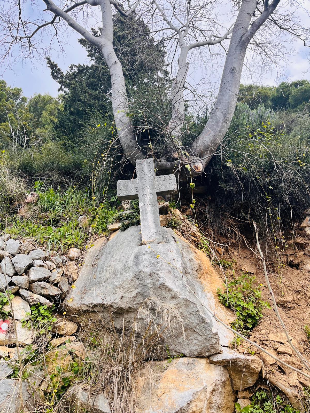
And this crossroads transported me deep into history—and I don’t even have Harry Potter’s magic wand…

*The Village of Zeljeviči*
About 800 meters beyond the village lies another settlement—Zeljeviči. Today, it is a forgotten place dating back to the early 19th century, situated on a mountainside overlooking the sea and featuring a well-preserved church. I heard a true and touching story from the locals—one that has been unfolding for quite a few years now. It’s the story of a man who wants to preserve and restore his grandfather’s house. He returns to the village regularly, always doing something to the house and always bringing food to the only inhabitants of the abandoned village—the dogs and cats.


In 2001, a massive forest fire swept through Zeljeviči, burning down everything that could possibly burn—namely, the old wooden sheds.
*Through the villages of Krug and Gornje selo to the village of Stare Duče*
This section of the route is approximately 4 km long and winds its way beneath the rocky massifs of the Poľjička Plateau. It passes through several old settlements, such as Gornje selo and Krug, and led me to the village of Stare Duče.


The village of Stare Duče is located below the summit of Zahod. Administratively, it is part of the seaside resort of Duče, and in addition to its traditional Dalmatian architecture, it also features the Church of St. Anthony of Padua, which was built in 1864.

*Hike to the Poljička Planina mountain ridge and ascent to the summit of Čeline*
Just past the village of Stare Duče, the road begins to climb more steeply into the mountains, because to continue on my way, I have to cross the ridge of this magnificent mountain range. This road offers breathtaking views.


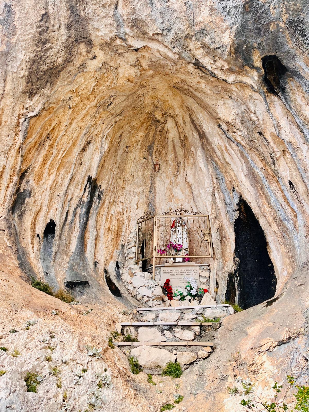
Just below the ridge is a rock niche containing a statue of Jesus Christ and other sacred objects. This place and these views evoke in me a sense of peace and gratitude that I am able to be here.

When I reach the ridge, the Church of Our Lady of the Snows comes into view. The small church dates back to the 19th century and is held in high esteem by the local residents. It is located on Stomorica Hill. It was renovated in 2004, and a small altar was built in front of it in 2010.


The peak of Čeline (455 meters) towers above the little church, and I couldn’t resist it; after leaving my backpack at the church grounds, I began my ascent. The already beautiful views became even more spectacular, but I also had an unpleasant encounter.

Just below the summit, I saw something about 3 meters in front of me that looked like a dry branch stuck in the ground, swaying slightly in the wind. It never even occurred to me that it could be a snake, so I took another step—and that’s when the viper, which the locals call a “poskok,” noticed me too. It lunged toward me, and I reacted by jumping out of its reach. I think we were both startled, and the viper returned to the rock where I’d disturbed it earlier. And I went back to the little church. In this case, too, the rule applies: watch your step, even when you’re surrounded by beautiful views.


*The village of Naklice and the descent through the canyon along the Lisičina River to Omiš*
From the summit of Stomorica, it’s only about 1.2 km to the village of Naklice. It’s located above the town of Omiš. The village is connected to Omiš by a canyon that winds for about 2 km and ends right in the resort.


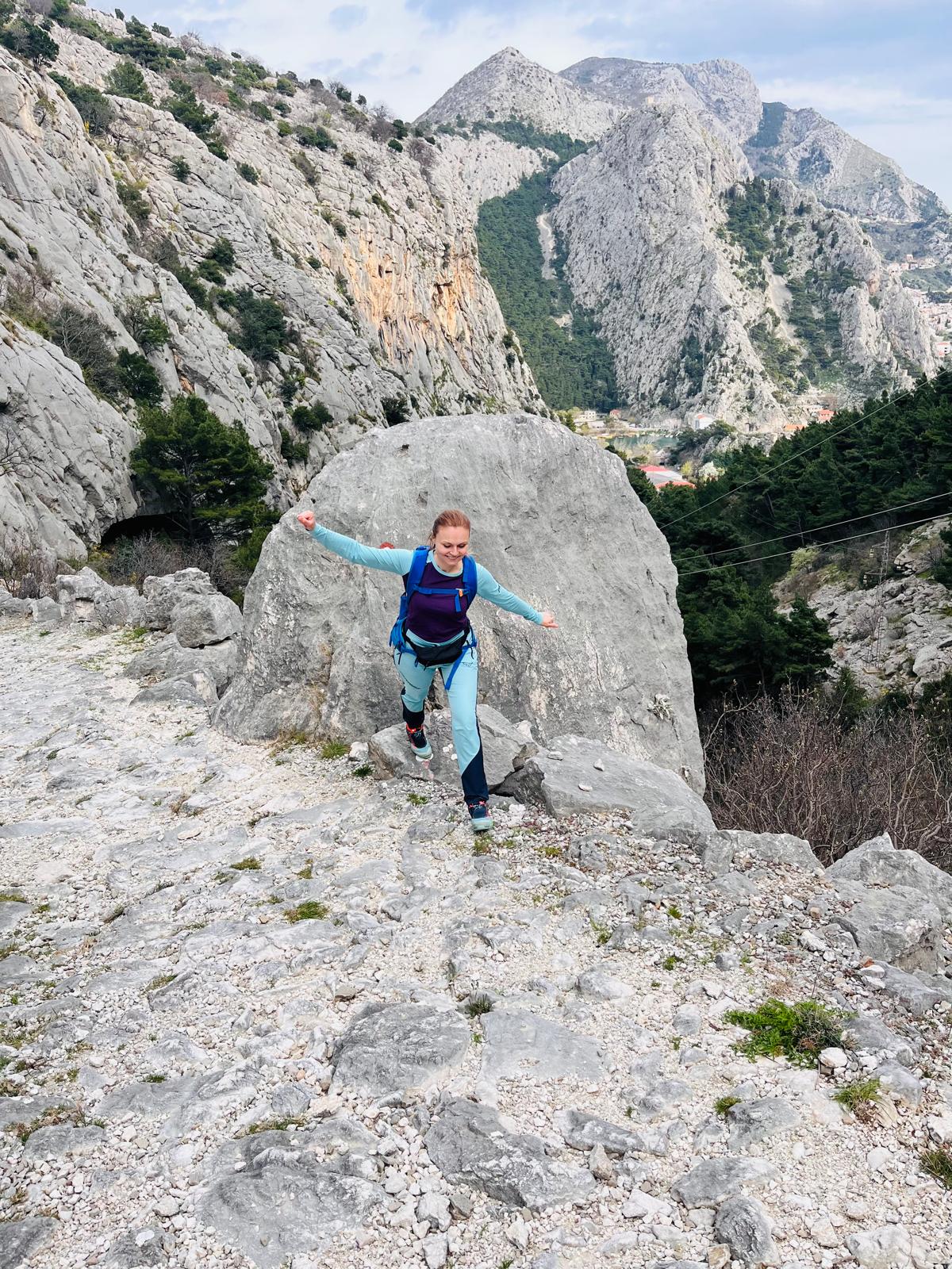


Here in Omiš, I silently thank the “inventor” who came up with beer… 🙂

The entire route is 14 km long and can be comfortably completed in about 5 hours. I don’t consider any section to be dangerous, but I recommend keeping a close eye on where you’re stepping…
If you decide to follow in my footsteps and need advice on accommodations, food, hiking trails, or other ways to spend your time around Omiš, Makarska and Brela, feel free to contact me via email at ajka@uzisibalkaninak.com, my Facebook page “Enjoy the Balkans differently” or Instagram.


♥ Andrea ♥
P.S.: All photos are protected by copyright