

I think many Balkan enthusiasts noticed the sudden deterioration of the weather in the Balkan countries, which resulted in the flooding of several coastal towns. This was the reason why I kept postponing my next “trip.” Until I saw an improvement in the weather forecast on the weather app, and a few days later I was already traveling to Montenegro.
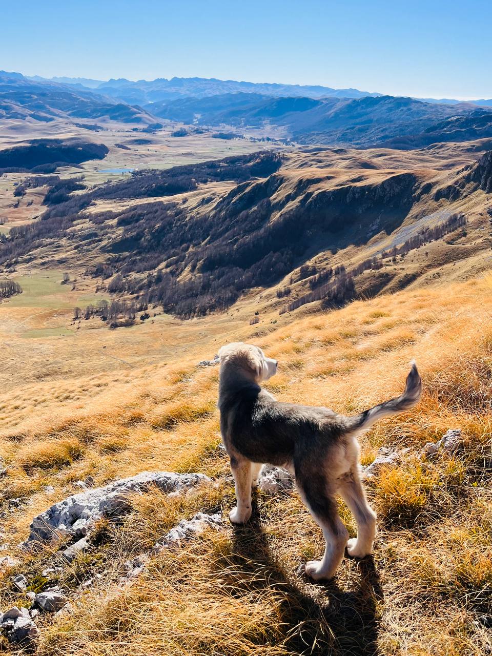
I’ll admit, I got a little worried when I saw the huge amount of snow that had fallen in Serbia (near the town of Zlatibor). It was the same in northern Montenegro (near the town of Kolašin). The problem was that I had planned to go on hikes in the mountains without snow, so I hadn’t brought any snow gear with me. My concerns didn’t disappear until I reached Montenegro’s capital, Podgorica, and after passing through the coastal mountain range via the Sozina Tunnel, I was certain I’d enjoy the mountains without snow. The exception was the highest peak—Rumija near Bar—where about 30 cm of snow had reportedly fallen the night before.


*In Search of Water in the Mountains*
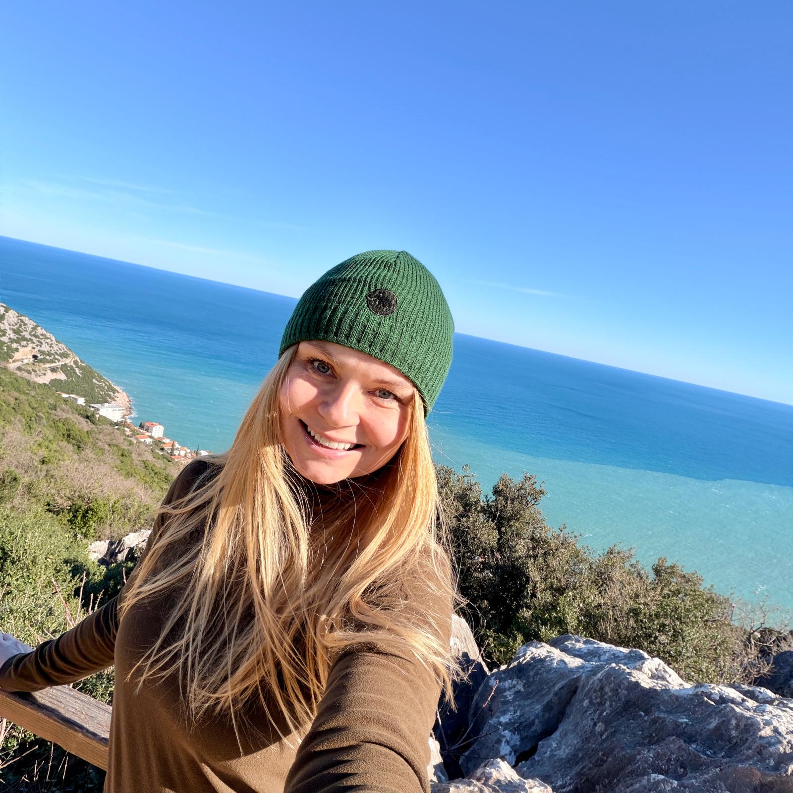
After settling into my accommodation above the town of Bar in the village of Dobra Voda, I planned a trip to the mountains to see two waterfalls the very next day. In the morning, the view from the window convinced me that the weather forecast had been right this time—it was truly beautiful.


I was very curious about the waterfalls, since I found very little information online about one of them, called “Skak,” which is located on the Vicković Stream. The second waterfall, called “Zup,” is located on the Željeznica River and is mentioned more often.
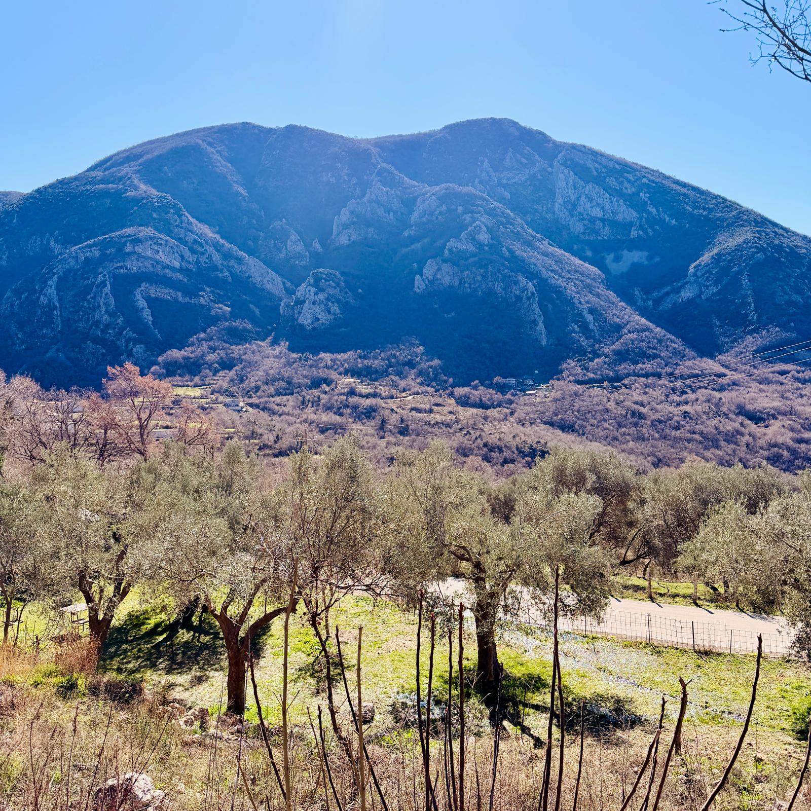
If you don’t like long hikes, both waterfalls are quite close to the village of Dumezić. I decided to leave my car further up in the village of Tudjemili. It is a small village (with a reported population of 146 permanent residents in 2011) in the mountains above the town of Bar, but it holds immense historical significance for Montenegro and its people.


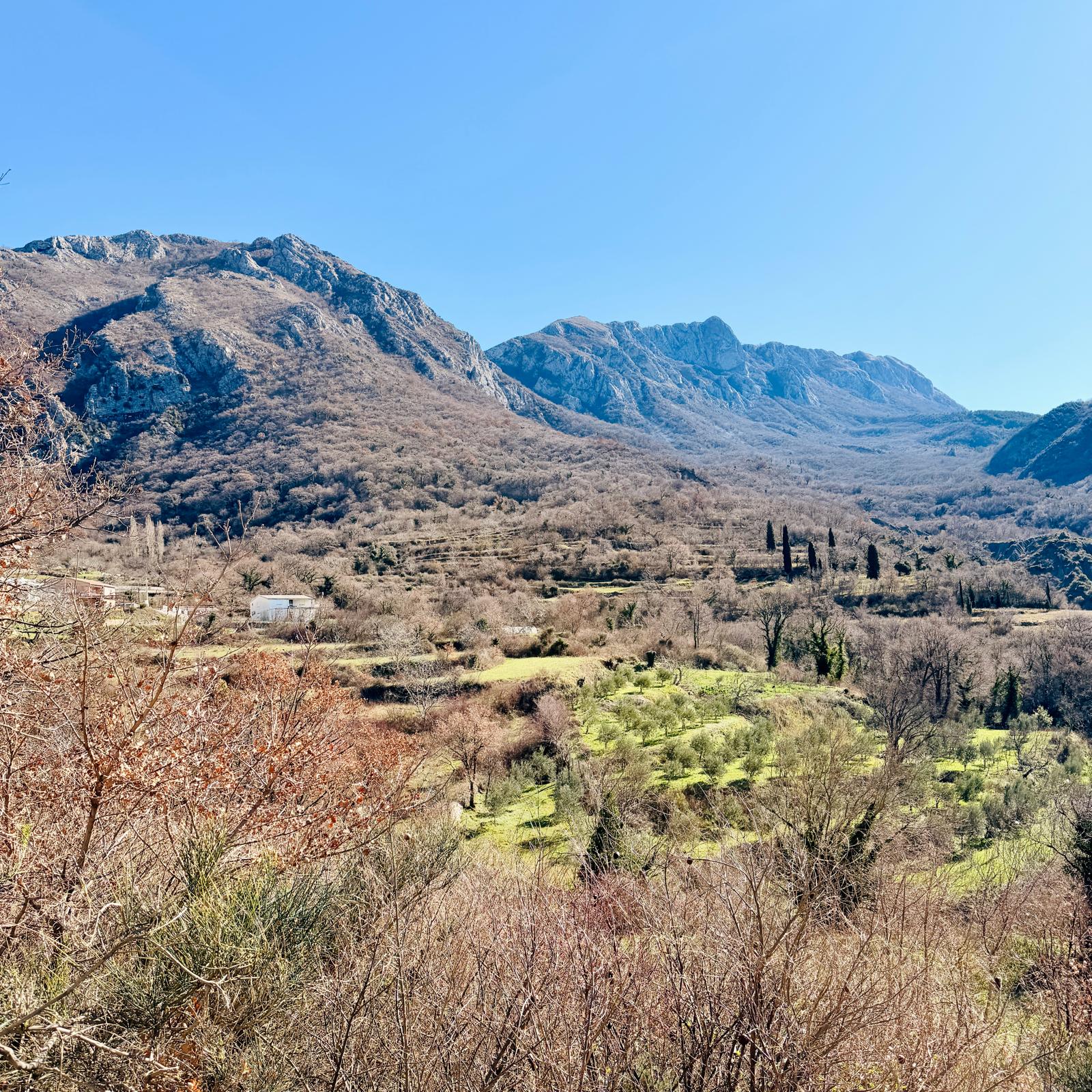

To understand the significance of this region, we must go back to the 11th century. At that time, a political entity known as Duklja existed in this region, and it was a vassal of the Byzantine Empire. From 1034 to 1043, Duklja was ruled by Stefan Vojislav, under whose leadership a rebellion against Byzantine rule began. In 1042, Stefan Vojislav’s forces clashed with the numerically superior Byzantine army at the Battle of Tudjemili. Byzantium was defeated, and Duklja subsequently gained independence. The Battle of Tudjemili became a symbol of the sovereignty of the Montenegrin state, and October 7 (the date of the battle) is celebrated annually as Montenegro’s Armed Forces Day.
From the village mosque, where I had parked my car, I walked about a kilometer downhill along a paved road, then 400 meters over the hill on a muddy path, followed by another kilometer along a dirt road, and found myself on the outskirts of the village of Zupci. The village is known for its Catholic Church of St. John the Baptist, which I’ll write more about in my next article.


I didn’t even make it to the church on this trip because I turned off into the wilderness toward the village of Dumezić. There was supposed to be a hiking trail here (at least according to the map), but there was nothing like that, so I followed a mobile app, which at least kept me on the right path.


Even from a distance, I could hear the roar of the Željeznica River, which I needed to cross to get to the other side. But I had to find a bridge, since the river was so full of water after the heavy rains that wading across was out of the question. Luckily, I managed to find a bridge right away ☺.


Although the Željeznica River is less than 20 kilometers long, it holds historical significance. Until 1878, it formed the border between Austria-Hungary and the Ottoman Empire. It is one of the coastal rivers that originate at the foot of karst mountains and are abundant in water. In the past, the Željeznica flooded the entire area where the town of “New” Bar is located today. It is believed that the name of the town of Bar derives from the archaic term “barama,” which refers to floodplains.
Videos of the Željeznica River
From the bridge, I walked about 100 meters through wooded terrain and found myself in the village of Dumezić. I’ll return to this village in my next article.

The hike to Skak Waterfall begins in this small village. It is located on the Vicković Stream, which, after plunging more than 100 meters, flows into the Željeznica River. Skak consists of three waterfalls, measuring a total of over 100 meters, with the highest waterfall (of the three) measuring approximately 40 meters.
The hike up to it is only half a kilometer long, but it’s a pretty steep climb. It’s a bit of a grind, but the view of the cascading waterfall and the surrounding landscape is definitely worth it.


On the descent, there’s no need to go all the way down to the village; instead, turn left at the trail junction just above the village. At first, the pleasant path will take you through an area where you’ll have a tuff wall on your left and the Željeznica River gradually coming into view on your right.


The Tuf Wall was soon replaced by a rock formation called the Gray Wall, which means you’re very close to Zup Waterfall. It’s not a tall waterfall, but rather an area consisting of several smaller waterfalls. What impressed me was the volume of water in the Željeznica River. Despite the recent rain, the water had a very beautiful color.


At this point, I had to rethink my plans for the next leg of the journey. Originally, I had planned to wade across the river and make my way over the mountain to the Orthodox monastery of Ribnjak. However, when I found the spot marked on the map as a ford, it was clear to me that I wouldn’t be able to cross there today…


You’ll find out how I rethought my route and continued on in one of my upcoming articles ☺ …
If you decide to follow in my footsteps and need advice on accommodations, food, hiking trails, or other ways to spend your time on the coast near Bar or Sutomore, feel free to contact me via email at ajka@uzisibalkaninak.com, my Facebook page “Enjoy the Balkans differently” or Instagram.
P.S.: All photos are mine and are protected by copyright 🙂 …


One thought on “After the rains in the Balkans, flooding in the mountains”