Of course, the title of the article is misleading. But who could forget the films about the legendary Apache chief, Winetou, and his blood brother, Old Shatterhand? One of the film’s legendary scenes takes place on the banks of the American river, the Rio Pecos, where Old Shatterhand must fight a duel against Winetua’s father – Inčučuna – in order to save his friends. And today I’m going to take you to the places where this film scene was actually shot.
*The River Zrmanja*
Did you know that this duel, as well as other scenes from the ‘Winetou’ films, were filmed on the banks of the Croatian river Zrmanja? It rises beneath Poštak Hill, which forms part of the southern Velebit range. It emerges from the Misije rock formation, which can be reached on foot from the village of Zrmanja Vrelo – a distance of about 3 km – and offers a truly breathtaking view. This geographical point forms part of the international Via Dinarica hiking trail, which passes through Slovenia, Croatia, Bosnia and Herzegovina, Montenegro and ends in Albania.

The river itself is 69 kilometres long and flows into the Novigrad Sea. Every single kilometre offers fascinating views of cliffs, some over 200 metres high, towering above the river. There are several waterfalls along its course, as well as historical monuments.


You can view the Zrmanja ‘from above’, but I wanted to see all that splendour from the water. Besides, I wanted to show this beauty to my dad as well. That’s why I decided to go on a sightseeing boat trip instead of hiking. It was already September, so I knew the canyon wouldn’t be crowded with boats and tourists and that we’d more or less have it ‘all to ourselves’. And as it turned out later – I was right 🙂 …
There are several companies operating in the Zadar area that offer boat trips along the River Zrmanja. However, not all of them are willing to provide a private boat trip for just a few people. I found one such company, Zrmanja River Tours, based in the town of Novigrad. They were happy to provide us with a boat and a captain for the whole day. What a luxury – all to ourselves on the boat 🙂 …
*Starting point*
Our departure was scheduled for the following morning; we were due to set off from the town of Novigrad. This is situated on the shore of the so-called ‘inland’ sea named after the town (the Novigrad Sea). In 1220, the original Roman fortifications on the site of present-day Novigrad were renovated and given the name Castrum Novum. From the 15th century onwards, Novigrad was under the administration of the Venetian Republic, and it is precisely for this reason that it never fell under Turkish rule. There are several interesting historical monuments here.
In Novigrad, we found our boat, met our captain Goran and set off on our cruise. On board, we were treated to some fantastic figs – I must have eaten a kilo of them 🙂 – as well as other fruit.


*Crossing the Novigrad Sea*
A few words about the Novigrad Sea. Some people also call it Novigrad Bay. It is named after the town of Novigrad, from where we set sail. To the south-west, it is separated from the smaller Karinsko Sea by the Karinsko Strait. It is connected to the Adriatic Sea (or the Velebit Channel) by the Novi Strait. The River Zrmanja is practically the sea’s only tributary. On its shores lie four seaside resorts which are very popular with tourists in the summer – Maslenica, Novigrad, Podgradina and Posedarje.


We had originally expected to head straight for the mouth of the River Zrmanja, but to our surprise, our captain steered the ship across the sea towards the Novska Strait. Seeing the question in my eyes, he explained that we still had time, as our boat could only pass under the bridge in the town of Obrovac at a specific time. Until then, the river level was still too high. So he first took us on a tour of the Novska Strait. And there certainly was plenty to see.
The Novska Strait is 4 kilometres long, approximately 200 metres wide and has a maximum depth of 60 metres.


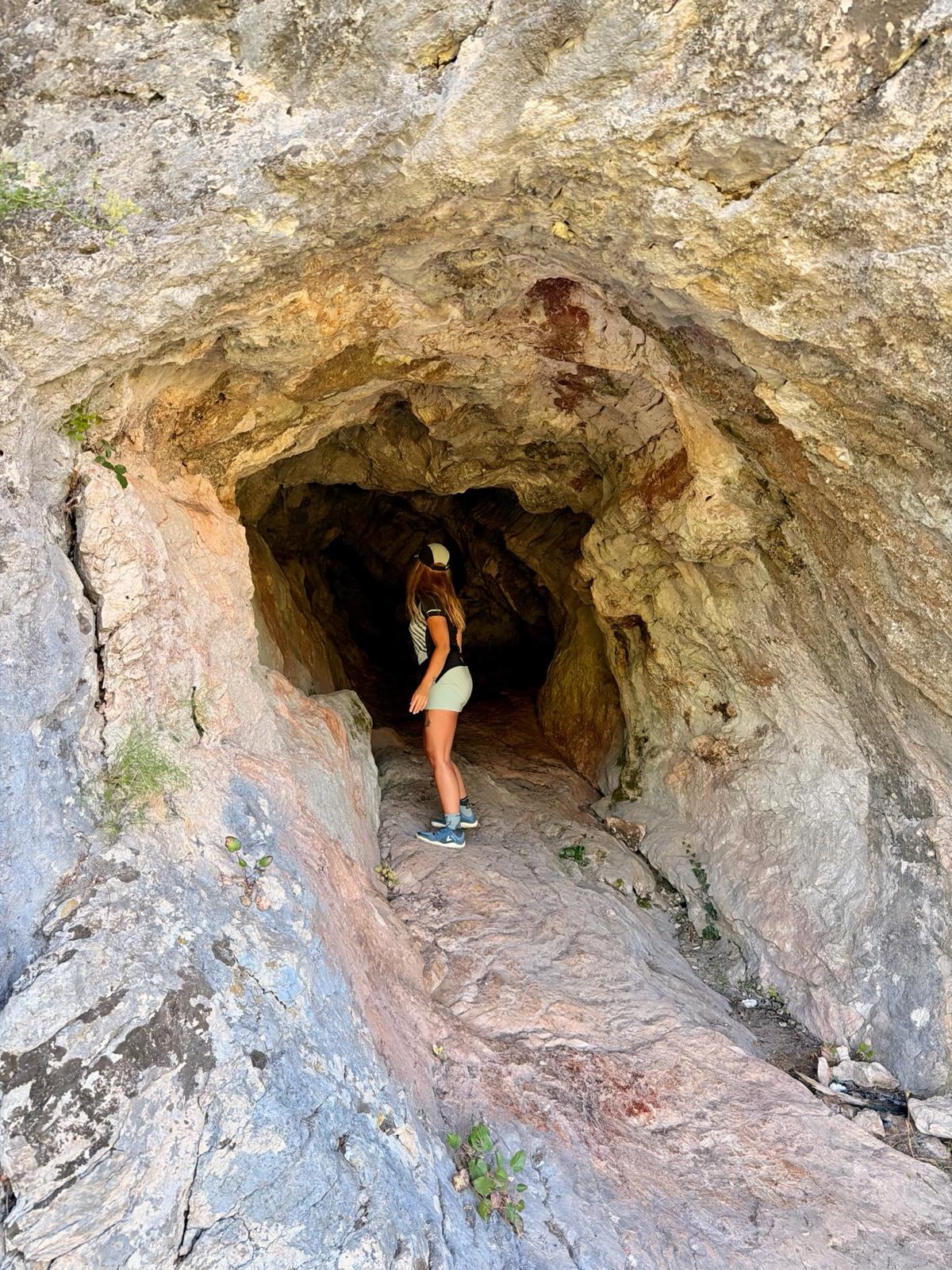
As well as the high rocky cliffs and several caves hidden within the rock faces, we also have the chance to admire two bridges from below:
The Old Maslenica Bridge – a bridge 315 metres long and 10.5 metres wide on the Adriatic Highway (the old road). It was built in 1961, but was destroyed on 21 November 1991 during the Yugoslav Civil War. And as all the roads connecting Dalmatia with the rest of the country had been cut off and occupied by Serbian forces, the Croats were left with no choice but to build a new bridge, approximately 1.5 km further north. It was rebuilt and opened to traffic in 2005. Today, it also features an adrenaline-fuelled attraction – bungee jumping.

The Novi Maslenički Bridge – construction began in January 1993. The entire construction site was within range of Serbian artillery for almost a year. It was opened to traffic in 1997. It is over 377 metres long and 20 metres wide. Its supporting structure consists of a reinforced concrete arch with a span of 200 metres, making it one of the bridges with the largest arches in the world. In 2003, it became part of the A1 motorway. A notable feature of this bridge is that it is frequently closed due to extremely strong gusts of wind. The absolute record was set on 21 December 1998, when wind gusts of up to 248 km/h were recorded there.


*A boat trip on the River Zrmanja*
After exploring the Novska Strait, our captain set course eastwards towards the mouth of the River Zrmanja. We are sailing upstream towards the town of Obrovac, which lies approximately 12 kilometres from the river’s mouth. The mouth itself is 240 metres wide. From the mouth to the town of Obrovac, the river’s depth ranges from 5 to 7 metres. The cliffs rise to a height of up to 300 metres.

We are approaching the cliffs known as ‘Prince Mark’s Gate’. On the right-hand side of the river, we can see the ruins of a fortress called Pržunac, which looks like a huge nest perched on top of a cliff. I tried to find out more about this fortress. Information about it is scarce and can be divided into two categories. According to one account, this fortress served as a prison for the Croatian Queen Jelena. According to the other, it was from this very fortress that Jelena commanded her troops during a naval battle with the Turks.


The road then winds its way between limestone cliffs. The closer we get to the town of Obrovac, the greener the slopes become, and we pass the occasional building and ruin. On our left, we can see the remains of the Benedictine monastery of St George of Koprivsko. When we finally reach the town of Obrovac…


This town is situated on both banks of the River Zrmanja. In the past, this small town suffered greatly during the fighting between Croats and Serbs in the 1990s. The first records of this town date back to 1337. It was founded by the so-called Princes of Krbava; later, the town was ruled by both the Turks and the Venetians.
A few photos from the trip to Obrovac


We manage to paddle successfully under the local bridge and can continue on to the Janković buk waterfall, which is still about 4.5 km away. This is the first waterfall on the River Zrmanja if you are travelling upstream from the river’s mouth. From its mouth to the Janković buk waterfall, the river flows at sea level, which means it is navigable by boat.


Below this waterfall, the river water begins to mix with the sea water. But just a few metres further upstream, the river water is purely fresh. Next to the waterfall itself are the remains of several old mills.

Neither Dad nor I could resist the sight of the river’s crystal-clear surface. We changed into our swimsuits and were pleasantly surprised by how warm the water was. I swam all the way to the waterfall and had my work cut out for me – the current beneath the falls was incredibly strong. But it was definitely worth it for the experience.

After a swim, we head back to Novigrad, stopping for lunch in Obrovac.


*A view of the Zrmanje Canyon from above*
After thanking our captain Goran and saying goodbye to him, I have another surprise in store for Dad. I decide to take him to the Pariževačka glavica viewpoint, which offers one of the most beautiful views of the river. It’s very easy to miss this spot, so I recommend following these directions to find it. If you’re travelling from Maslenica towards Obrovac along the old road (D54), you’ll pass through the village of Jasenice. It’s 2.3 km from the bus stop on the main road to the turn-off onto the dirt track leading to the viewpoint. The turn-off isn’t signposted in any way. After turning off, you’ll need to slow down to avoid a puncture, and after about 600 metres you’ll reach a signposted car park where you can leave your car. A further 250 metres on, you’ll be blown away by the views on offer. See for yourself…


Although I’m the active type and prefer to get about under my own steam, I would definitely recommend this experience to everyone. The best time to go is in May, June or September, when the Zrmanja isn’t full of boats carrying tourists.

If you decide to follow in my footsteps and need advice on accommodation, food, hiking trails or other ways to spend your time around the Novigrad Sea, please don’t hesitate to contact me via email at ajka@uzisibalkaninak.com, my Facebook page ‘Enjoy the Balkans differently’ or Instagram.

P.S.: All photos are protected by copyright 🙂