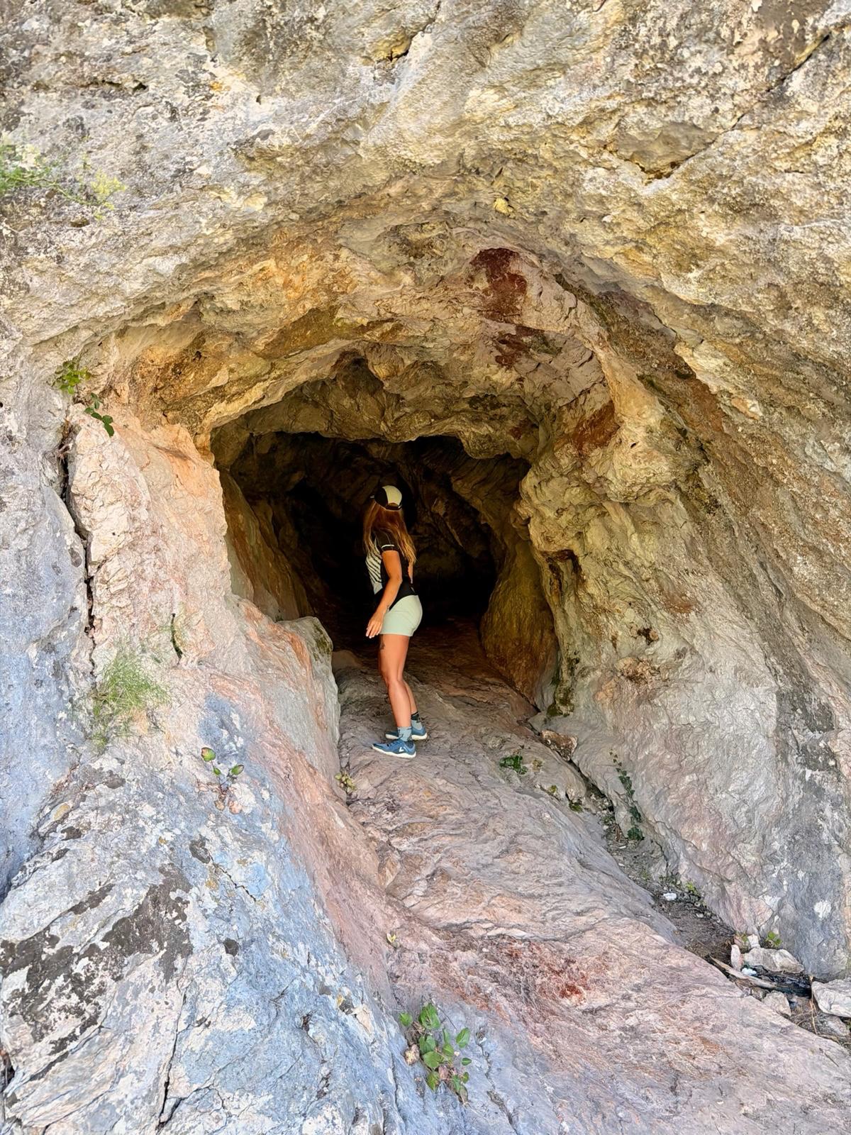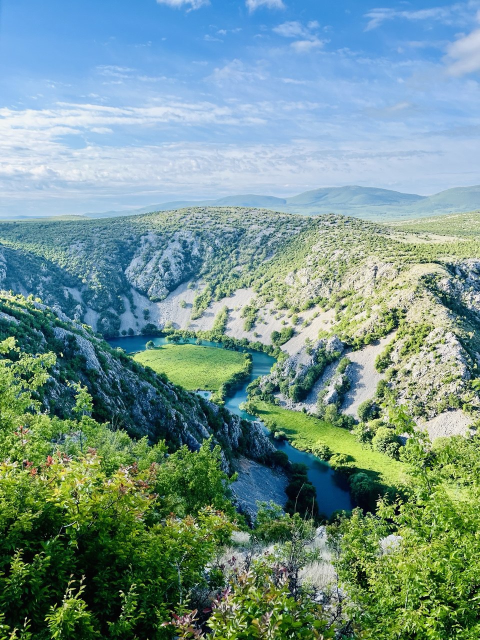
Let me ask you something… Who among you knows the Croatian river Krupa? Fans of the Croatian countryside certainly do, but I think most people are more familiar with its bigger “sister,” the Zrmanja River, known from the movies about Winnetou and his blood brother Old Shatterhand.
*Facts about Krupa*
The Krupa River originates on the southern slopes of the Velebit Mountains in Croatia, not far from the village of the same name, Krupa. It is the largest tributary of the Zrmanja River. I fully understand that “everyone has their own taste,” but in my opinion, it is one of the most beautiful—if not the most beautiful—rivers in Croatia. And that’s despite the fact that its entire length is only about 7 km! And this 7-km-long river is adorned with as many as 19 waterfalls!

It’s very easy to combine a visit to Krupa with a trip to the coast; the nearest stretch of the Adriatic Sea is only about 32 km away (the coastal town of Rovanjska—the inland town of Golubič). That’s exactly what I did. During my stay by the sea in the town of Starigrad-Paklenica, one April morning I decided to explore the course of the Krupa River from a place called Kudin Bridge all the way to the Krupa Monastery (manastir). My enthusiasm was heightened by the fact that there’s also a short via ferrata along the route. I was also eager to hike at least a short section of the Croatian Via Adriatica hiking trail, which begins in Istria and ends below Dubrovnik (1,070 km). The Krupa River is part of this trail.

*Starting Point*
The starting point was a parking lot about 1.2 km from where the trail meets the stream. If you’re traveling from the coast (Zadar, Starigrad-Paklenica, Rovinj), take the D27 road (which, before the highways were built, served as an alternative route to the coast through the Croatian interior) and, about 7 km past the village of Muškovci, turn right onto Road 6027. After 4 km, you’ll pass the turnoff for the village of Golubič, and after another approx. 1.5 km, turn right and continue for another kilometer to the parking lot.
*Descending toward the river*
After just a few steps from the parking lot toward the river, I was captivated by the views. It was incredibly beautiful… . And these scenes only grew more breathtaking as I made my way down to the river. So I took picture after picture after picture. It was truly a sight fit for the gods.


*Kudin Bridge and the Deveterac Cascade and Waterfall Complex*
Even before you reach the river, you can admire this masterpiece—the so-called dry stone structure—Kudin Bridge. Dry stone construction is a traditional technique in which stones are stacked on top of one another without the use of mortar or any other binding material.


The bridge was built at the turn of the 18th and 19th centuries. It consists of 12 arches made of travertine blocks and an equal number of stone pillars. It is the only place where one can cross from one side of the river to the other. According to local legend, a young man named Kuda had the bridge built to span the river that separated him from his beloved. So, as always, look for a woman behind it all 🙂 …


And that’s not all. Near the bridge is a complex of water cascades and a waterfall called Deveterac. Translated, this means “Nine,” and it gets its name from the nine travertine cascades that culminate in a 13-meter-high waterfall.


*Continuation of the via ferrata*
From Kudin Bridge, you can continue in two directions. Either follow the river downstream to the confluence of the Krupa and Zrmanja rivers, or go upstream to the Krka monastery. I chose the second option.
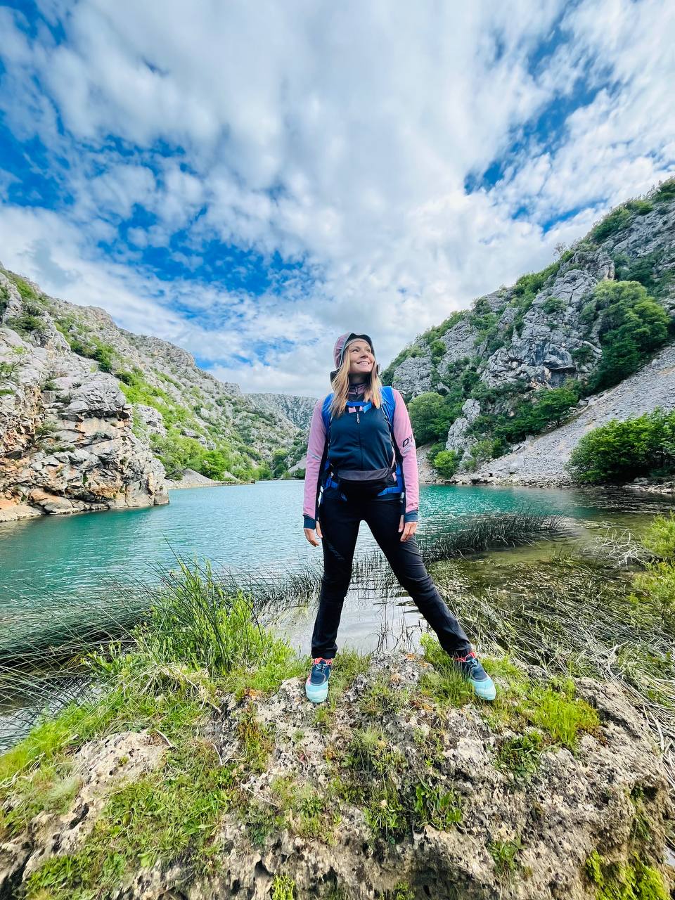
The trail gradually rose and fell, and the terrain was more or less challenging in places. The river’s beautiful turquoise and blue-green hues contrasted with the lush greenery and pristine karst landscape.

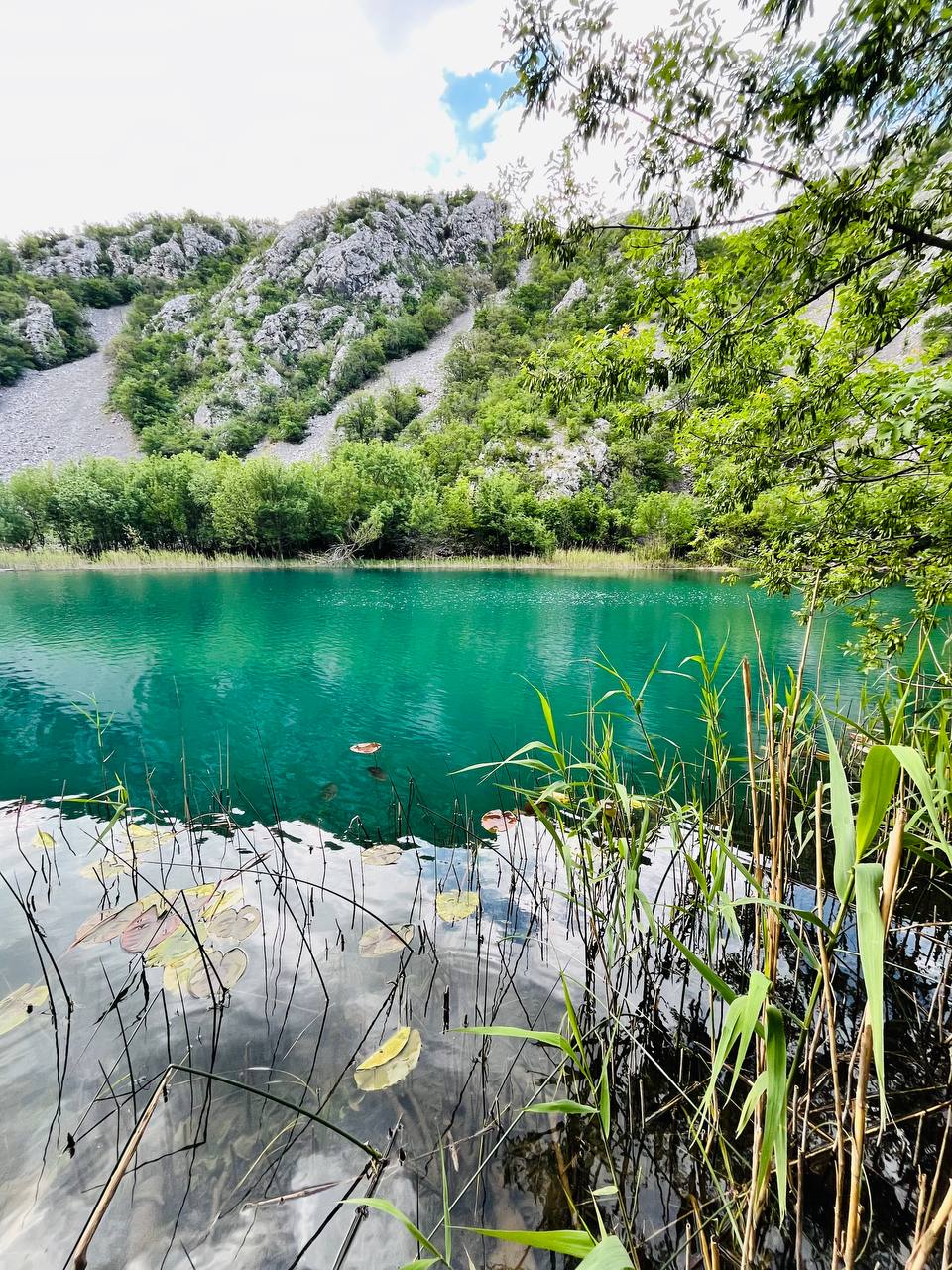


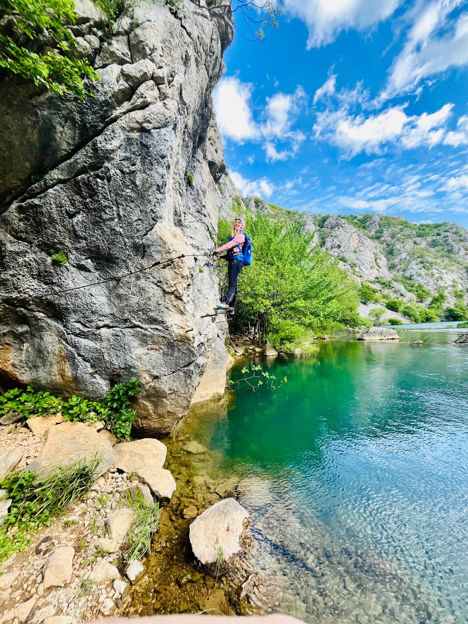
However, after about 200 meters, the trail ends and the route continues over a rock face equipped with rungs. The via ferrata is neither long nor difficult; it is only about 20 meters long. It has a difficulty rating of B. No belaying is required.
*To the confluence of two rivers*
This place stuck in my memory not only because of its beauty, but also because the hiking trail disappears at the confluence of the Krnjeza and Krupa rivers, and you have to find a dry path. A step to the right or left off the narrow dry strip meant getting your feet wet. But wet feet are part of hiking, too 🙂 .


The Krnjeza is a short karst river that flows through the Bukovica area. It is less than one kilometer long, and the first half of its course dries up during the summer. It originates in a huge cave 106 meters below the surface. Its water is completely clear and pure.

*Krupa Monastery*
I continue on past the Radov Buk waterfall, this time along comfortable meadow terrain beside the Krupa River, where I see tracks from just about every kind of animal imaginable, including a bear. At this point, I’d love to see the monastery in the distance… but I’ll have to wait a little longer for that… ha ha ha


I’ll reach the monastery in about an hour (4 km). It’s truly magnificent. The Krupa Monastery was built in the 14th century and is the oldest Orthodox monastery in Croatia and a protected cultural monument. It has a tragic history, having suffered greatly during World War II and also during the tragic conflicts in the former Yugoslavia in the 1990s. Life began to return here only in the year 2000.


There are lots of dogs and cats roaming around the monastery; they have a wonderful environment there, and the local nuns take good care of them. And of me, too… They offered me a tour of the grounds and some light refreshments.




*Return*
For the return trip, I decided to take a different route along the paved road, since I wanted to see the Krnjeza River Canyon from above. And I succeeded… From the summit of Krnješka glavica (408 m), the view was breathtaking.

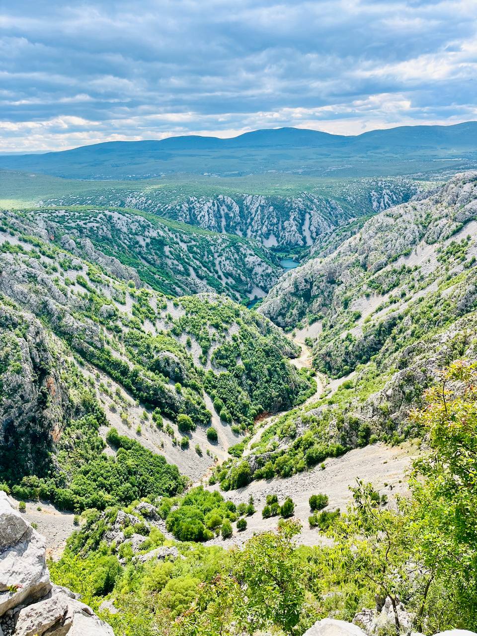
The walk back from the monastery was 6.5 km, and I covered it in just under two hours at a leisurely pace. Then it was off to the car, back to Starigrad, a good meal, and some relaxation on the terrace overlooking the sea… 🙂


Although the Krupa River is only seven kilometers long, it possesses the charm and beauty of a 100-kilometer-long river. Locals often refer to it as the “little Plitvice.” In my opinion, no other karst river in Croatia can offer such diversity—such a wealth of karst phenomena, flora, fauna, and overall scenic beauty—all within just 7 kilometers.

The trail itself was about 12.5 km long; it’s possible to cover it in 5 hours at a leisurely pace, but you should set aside much more time, because you’ll definitely be stopping every few moments to admire the beauty of the river and the surrounding area. I don’t consider the trail to be difficult, but you need to be careful and walk more slowly on slippery sections.
If you decide to follow in my footsteps and need advice on accommodations, food, hiking trails, or other ways to spend your time around Starigrad and Paklenica, feel free to contact me via email at ajka@uzisibalkaninak.com, my Facebook page “Enjoy the Balkans differently” or Instagram.

P.S.: All photos are protected by copyright