

Whenever I plan a route through the Balkans and see the word “greda” marked on the map, I picture a towering rock massif. During my many stays in Žabljak, I’ve often noticed the massive rock formation towering over this little town. A photo of this massif also appears on many postcards depicting Žabljak—steep, reddish cliffs surrounded by numerous pine forests.
I learned from the locals that this is Crvena greda (Red Rock). It stands at 2,164 meters. It’s called that because when the sun’s rays hit it, the mountain takes on a beautiful reddish hue. And I’m sure you can imagine that I couldn’t resist it.
*Route to Red Ridge*
One November morning, I parked my car at the Momčilov grad mountain restaurant. The restaurant is known for its local cuisine as well as its panoramic views of the Durmitor mountain range. It’s about 8 km from the town of Žabljak by car, and the drive takes 10 minutes.
I set off in the exact opposite direction from the main road leading to Momčilov grad. I walked across a beautiful grassy plateau that stretches along the edge of the forest, dotted with small A-frame houses known as katuns. In the distance, I can see the peak of Savinho Kuku (2,313 m).
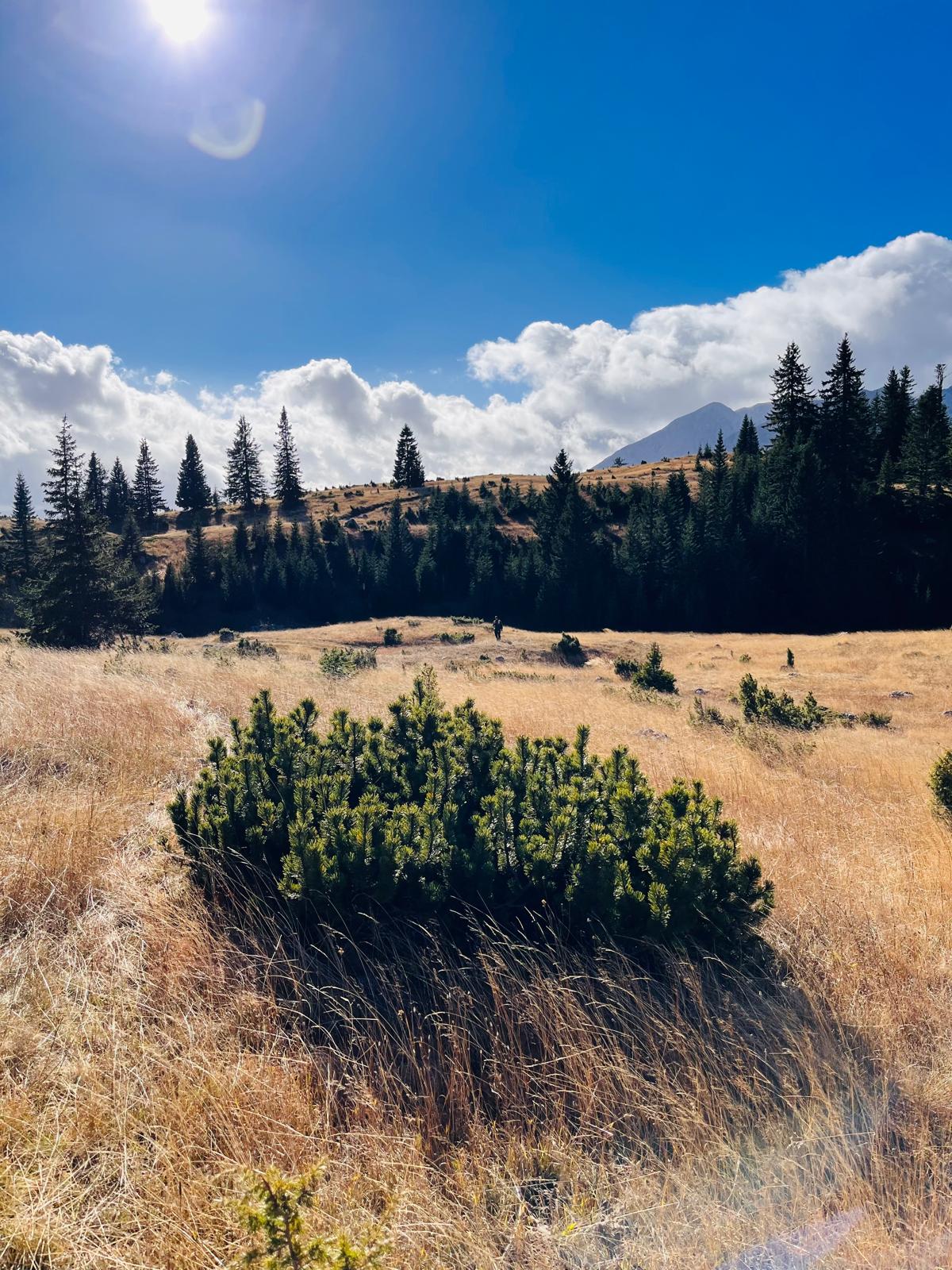
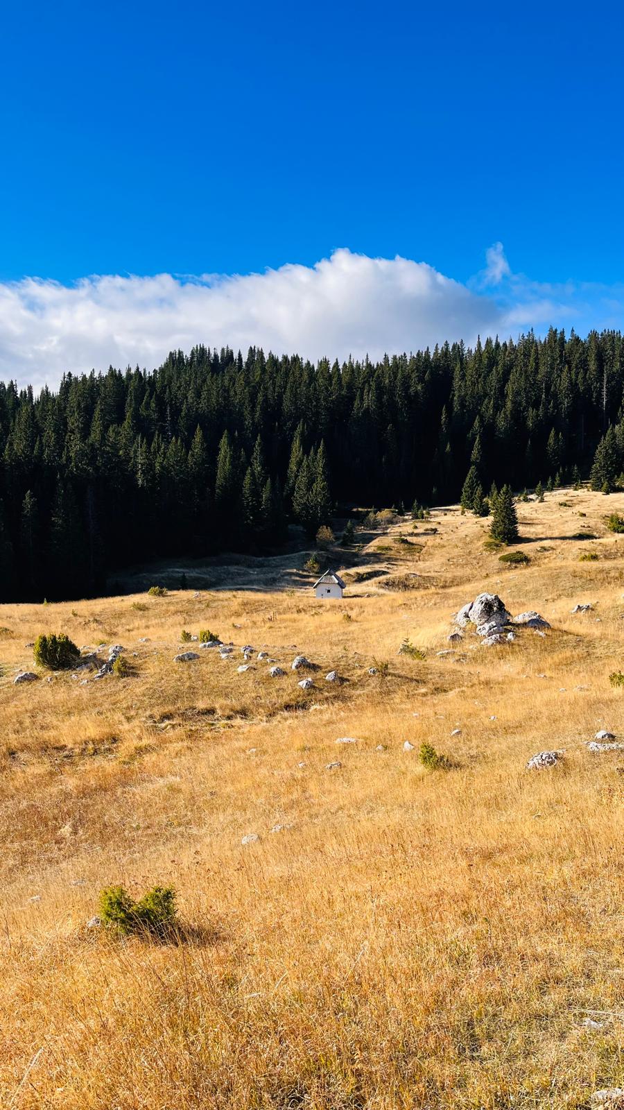
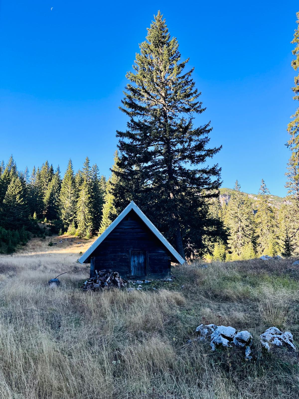
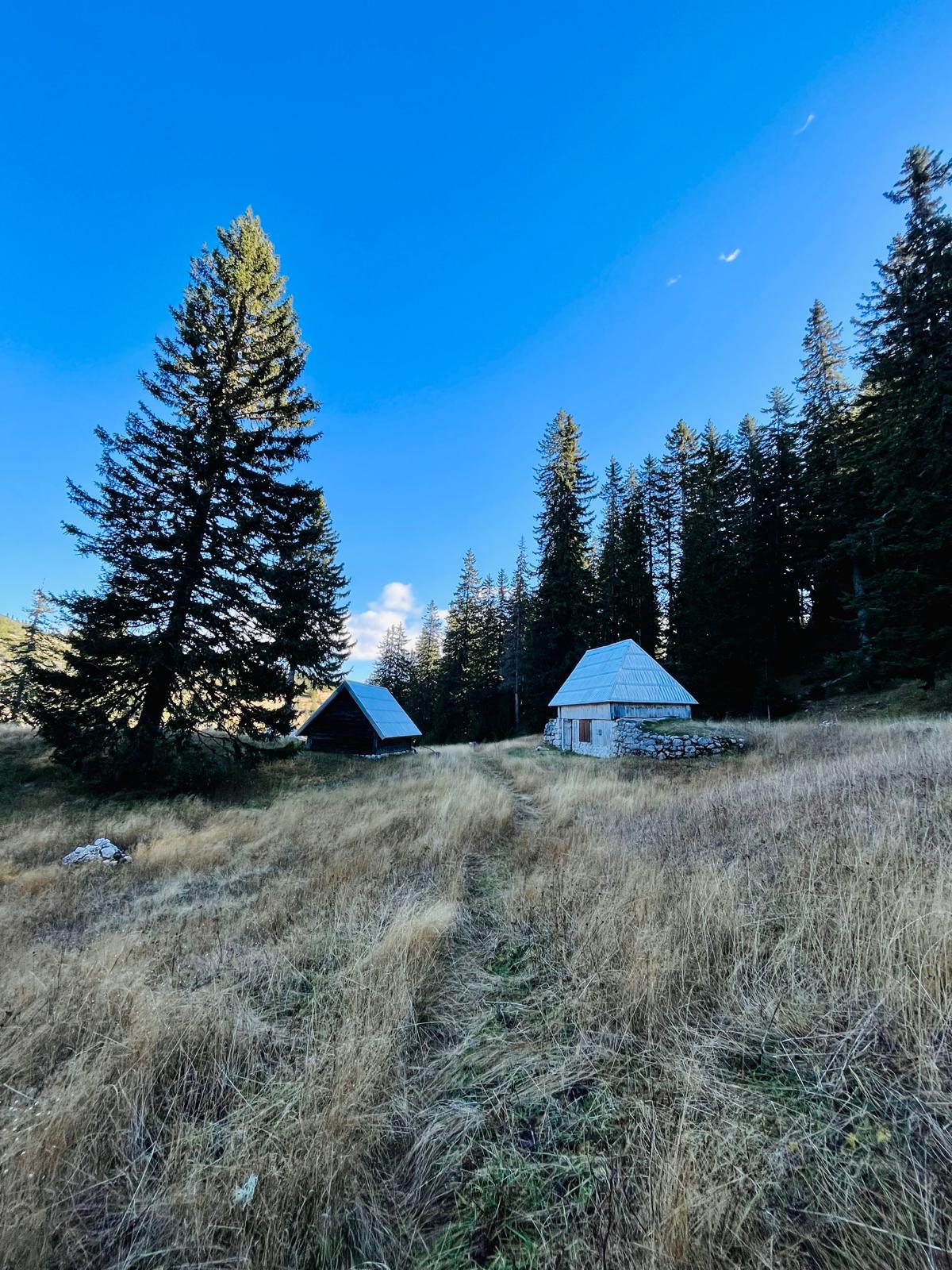
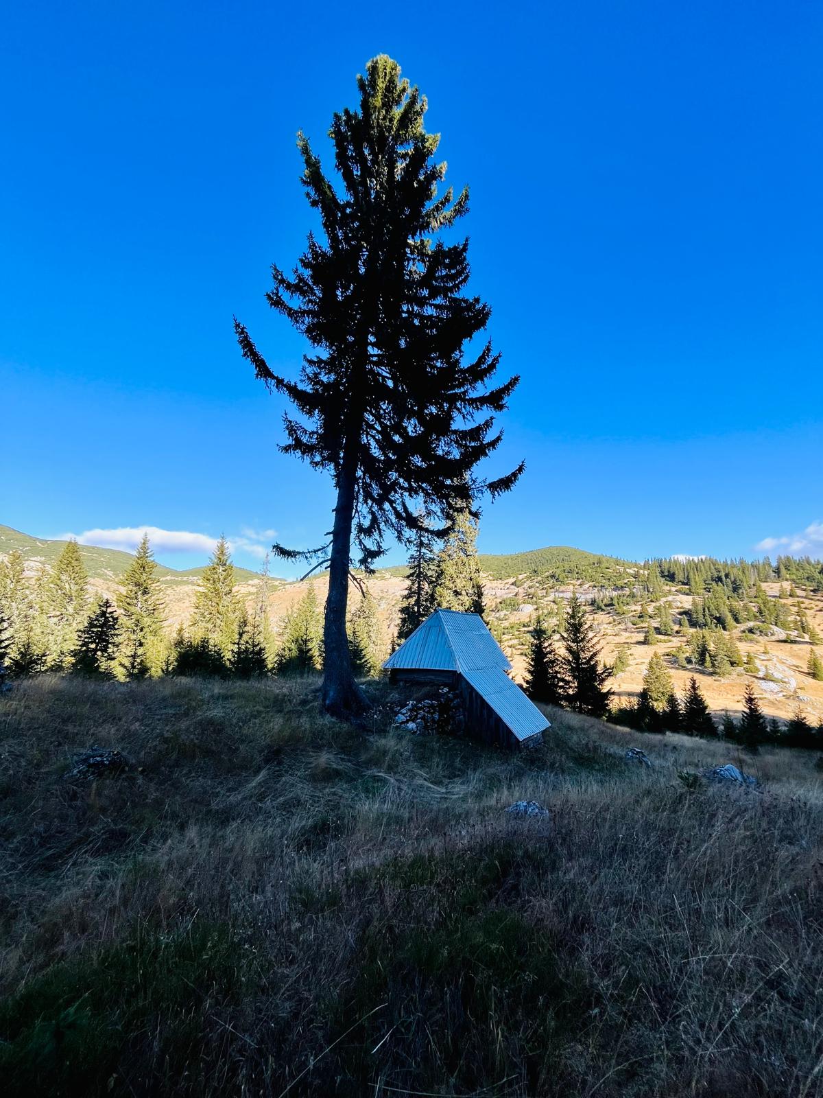
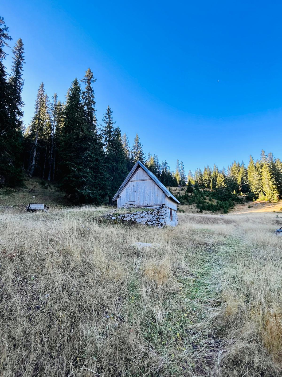
I continue on, climb a small hill, and for the first time, the dazzling cliffs of Crvena Greda come into view, towering above the treetops.
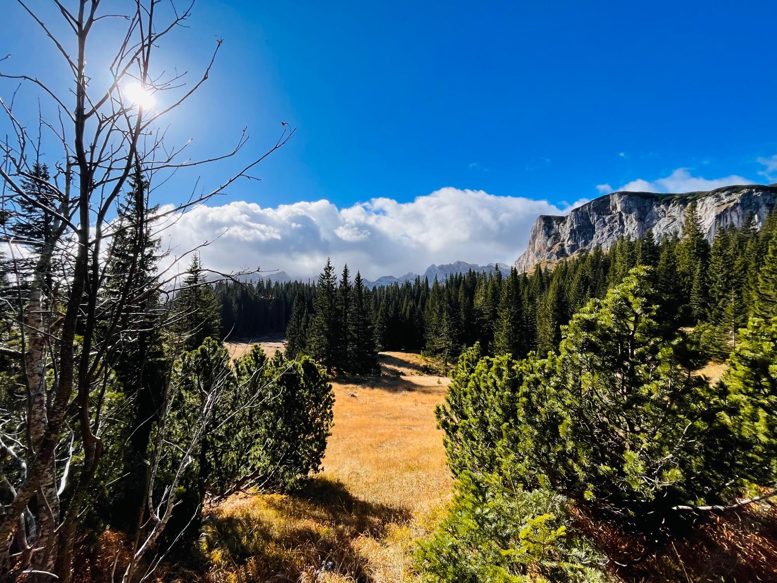
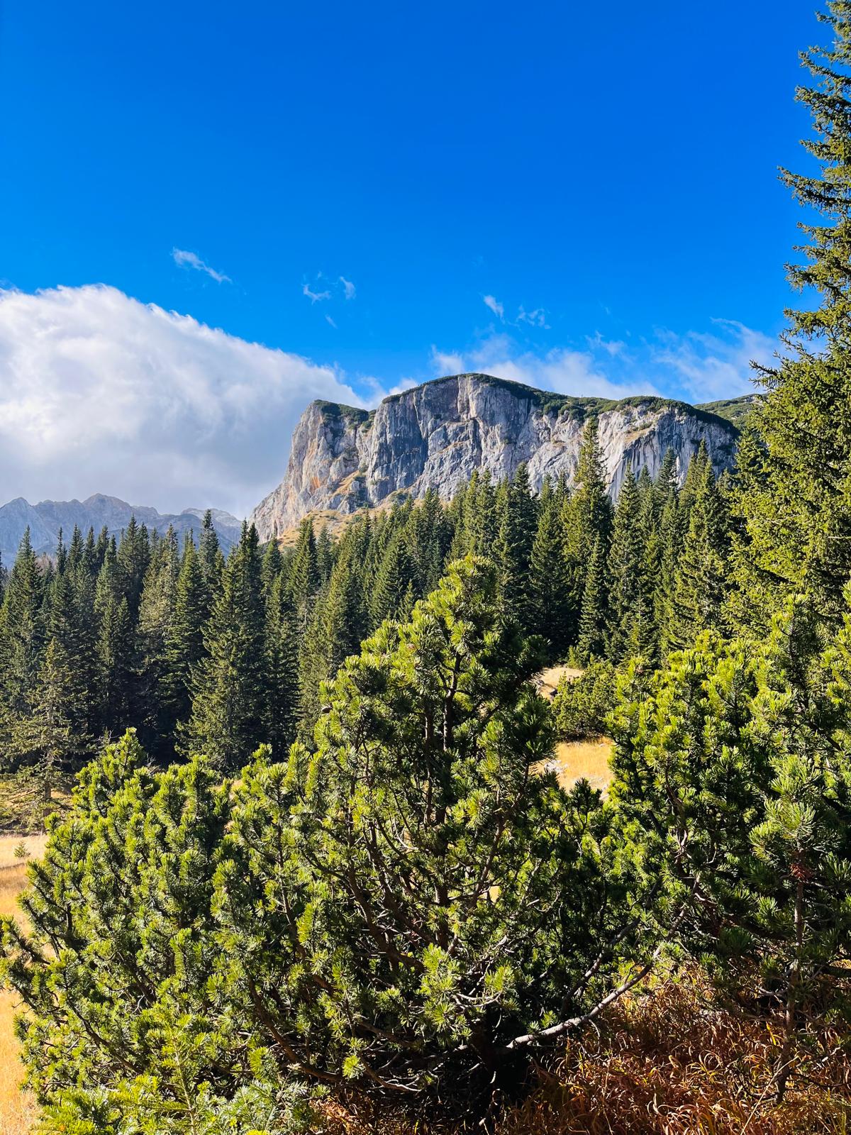
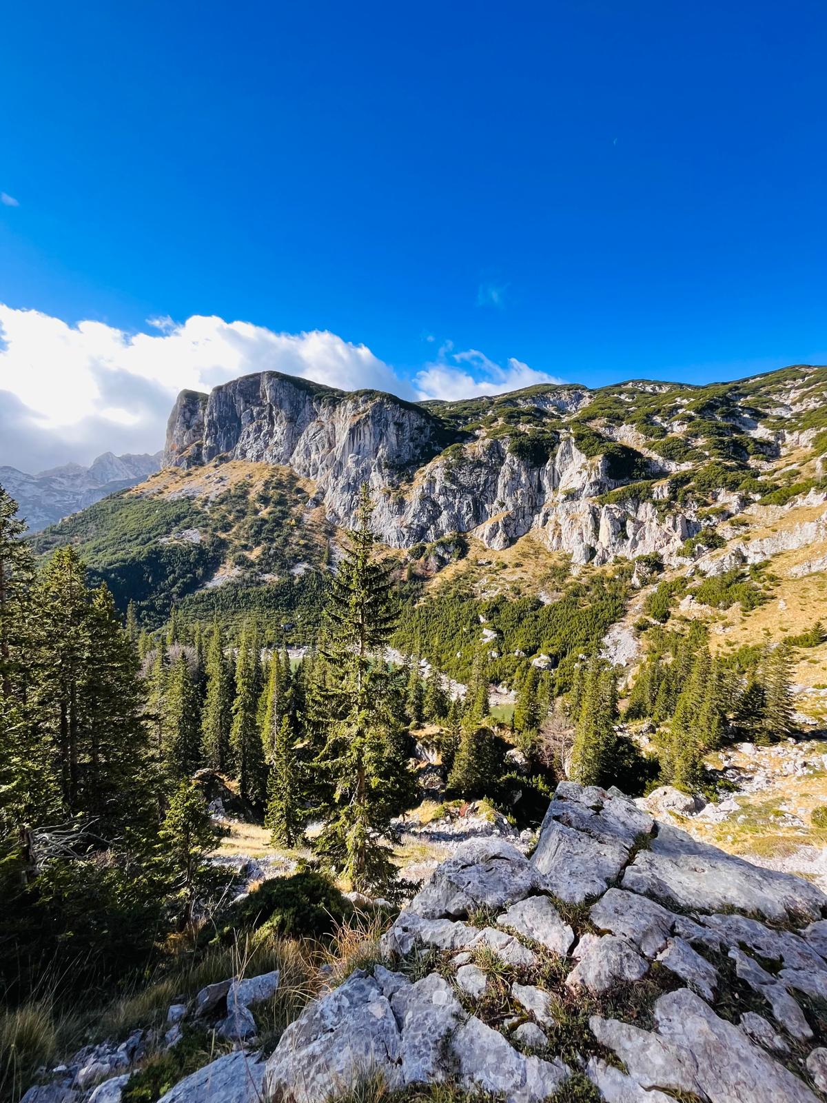
The trail then passes beneath the imposing limestone face of Crvena Greda. The path narrows, and the climb begins to get steeper.

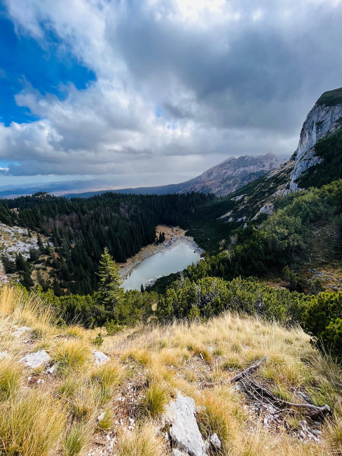
To my left, I can see the beautiful color of the water in Lake Jablan. This lake is shaped like an eye and is surrounded by sharp white cliffs. During the summer months, it shrinks due to the heat, but I was able to appreciate its true size in November.

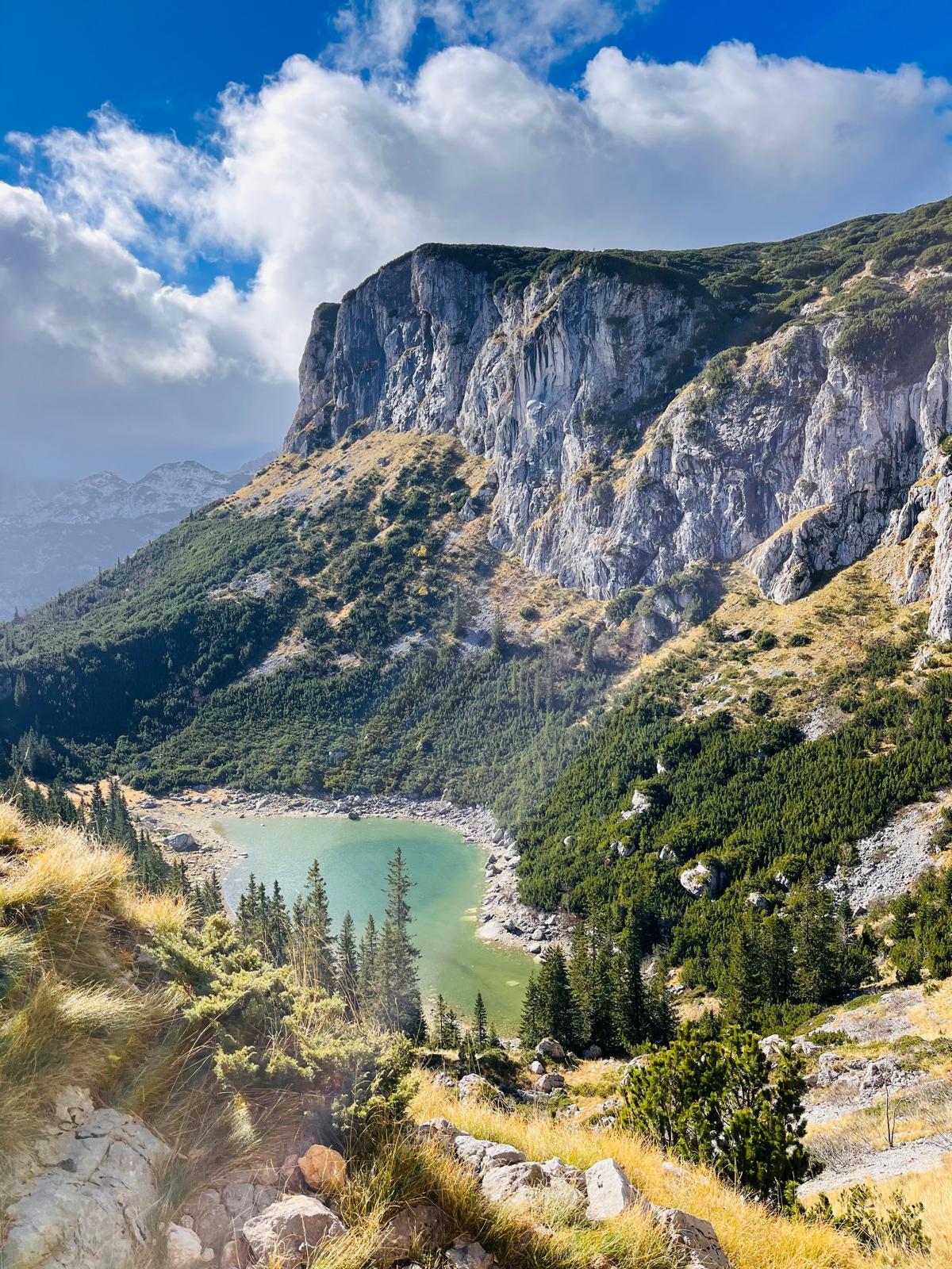

At the intersection where you can turn left toward Lake Jablan, I keep to the right and follow the red trail up to the plateau, across which the trail continues to the summit of Crvena Greda.
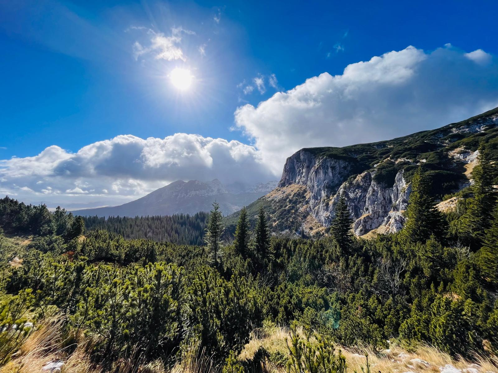
My journey continues along the edge of the plateau. The wind is picking up, so I’m careful not to wander too close to the very edge of the precipice. I arrive at one of the most beautiful viewpoints on today’s route. Ahead of me, I see the Durmitor panorama: Savin Kuk (2,313 m) on the far left, Terzin Bogaz (2,306 m) to the right, and Bobotov Kuk (2,523 m).

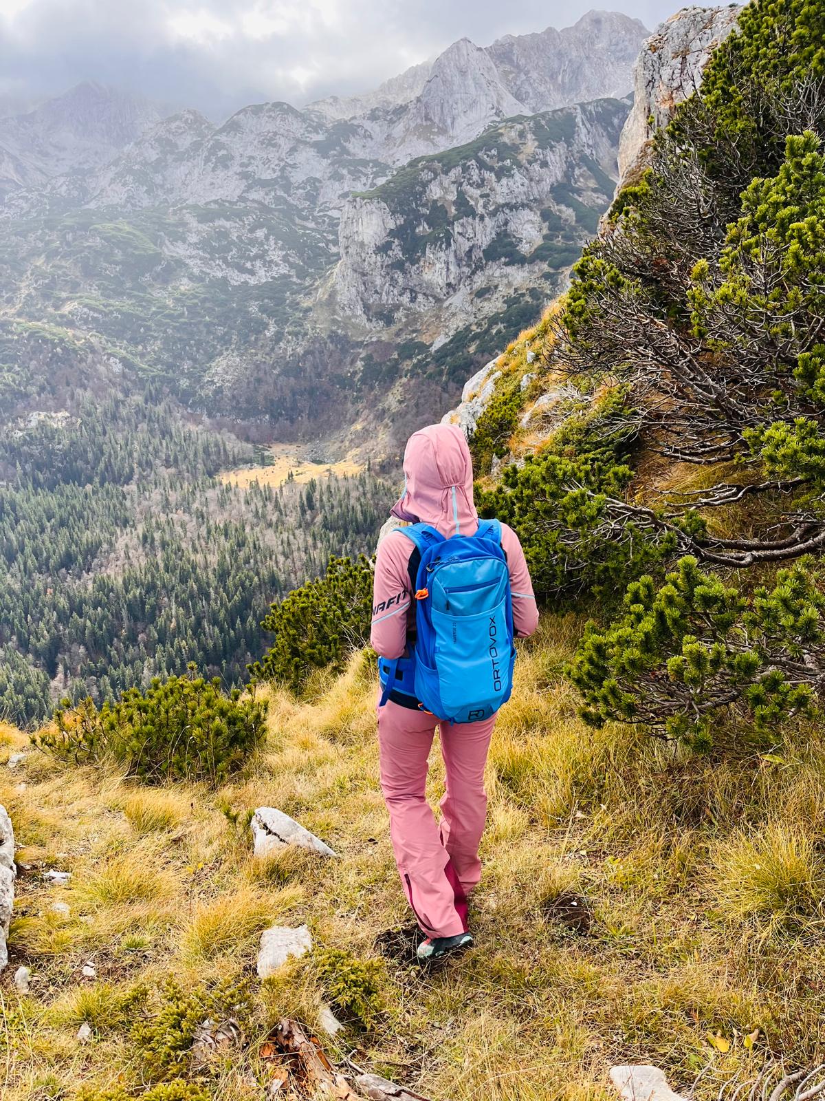
The trail continues through stunted but dense shrubs, which you occasionally have to push your way through. I climb up rocky gullies on steep sections. For the last 500 meters, the path runs along the edge of the cliff again. Although it seems fairly wide, people with a fear of heights might have a problem—fortunately, that’s not the case for me 🙂 …

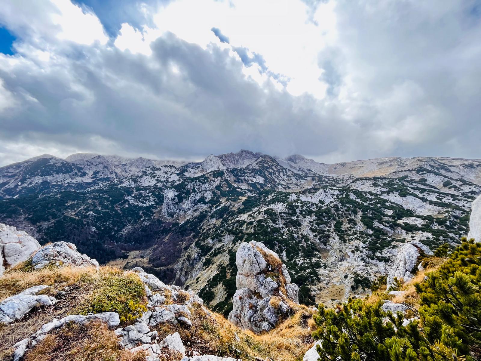
At the end of the climb, I reach an open rocky plateau that offers a panoramic view of the entire surrounding area. I can see Bobotov Kuk towering in the distance ahead of me, the many pine forests around Black Lake (Crno jezero), all the way to the winding ridges that merge into rolling hills and stretch as far as the eye can see. It’s truly an amazing place to relax and enjoy the endless views that stretch out before me.
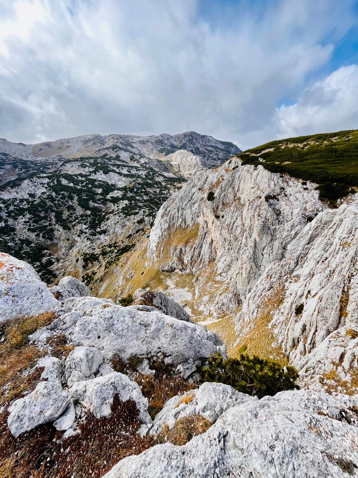

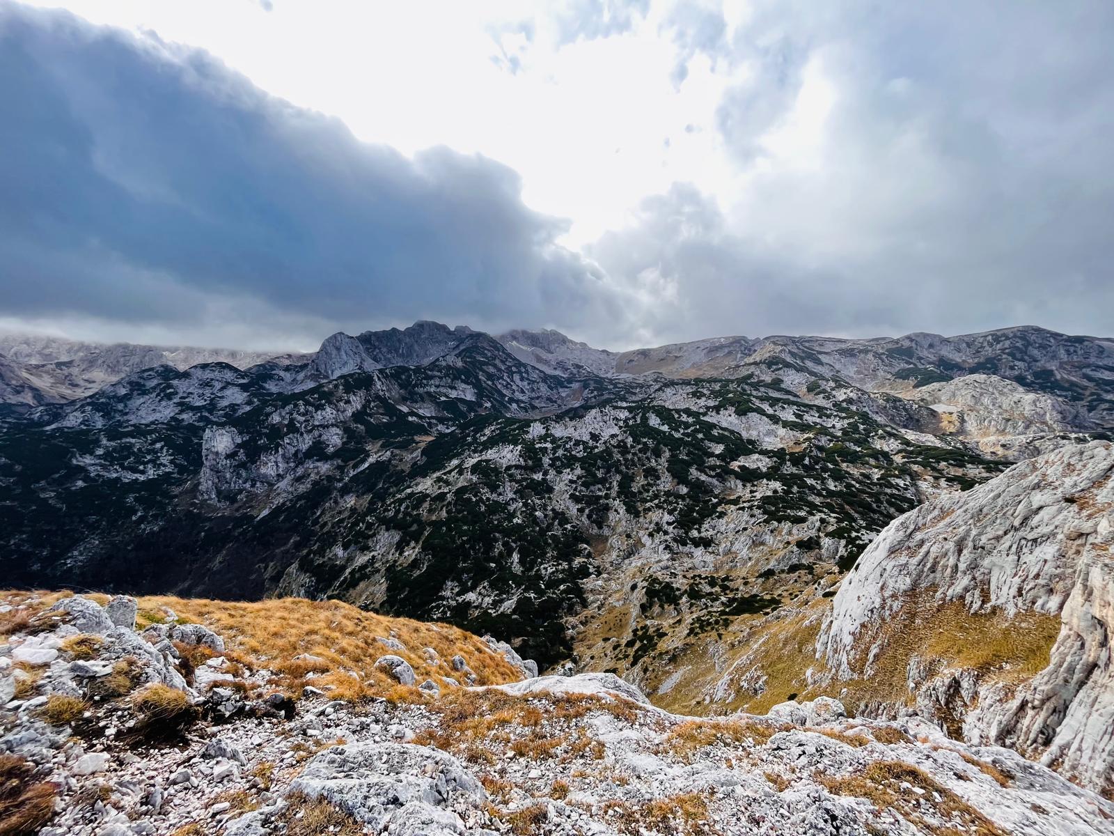
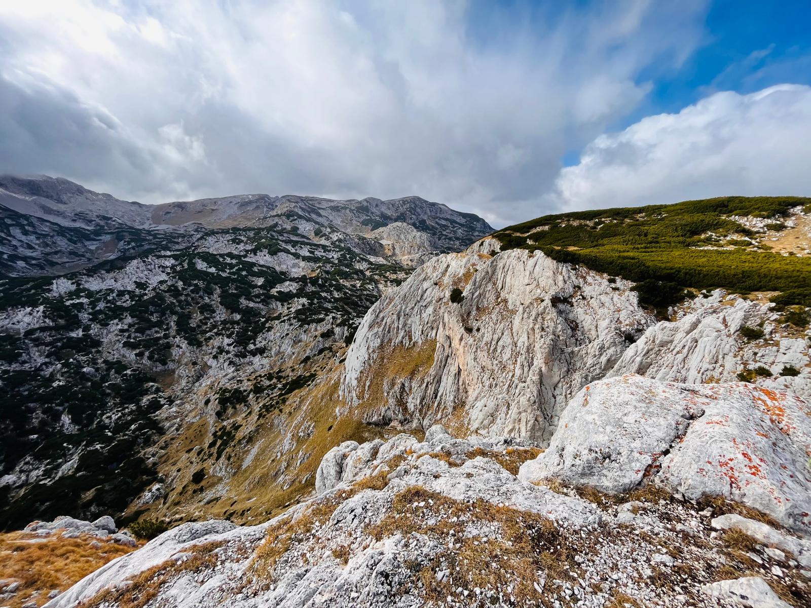
Many people end their hike right here, even though this isn’t the actual summit of Crvena Greda—that lies 250 meters further along the cliff. To get all the way to the top, I have to descend slightly, squeeze through the rocks, and make my way through a cluster of low, dense bushes. And even though I’ve seen even more beautiful views along the way, it’s still worth making it all the way to the summit. The trail intersects here with the path leading to Planinica (2,330 m).
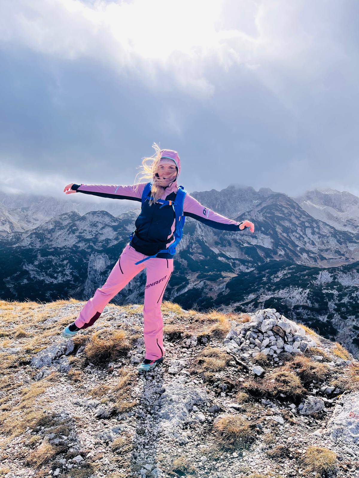
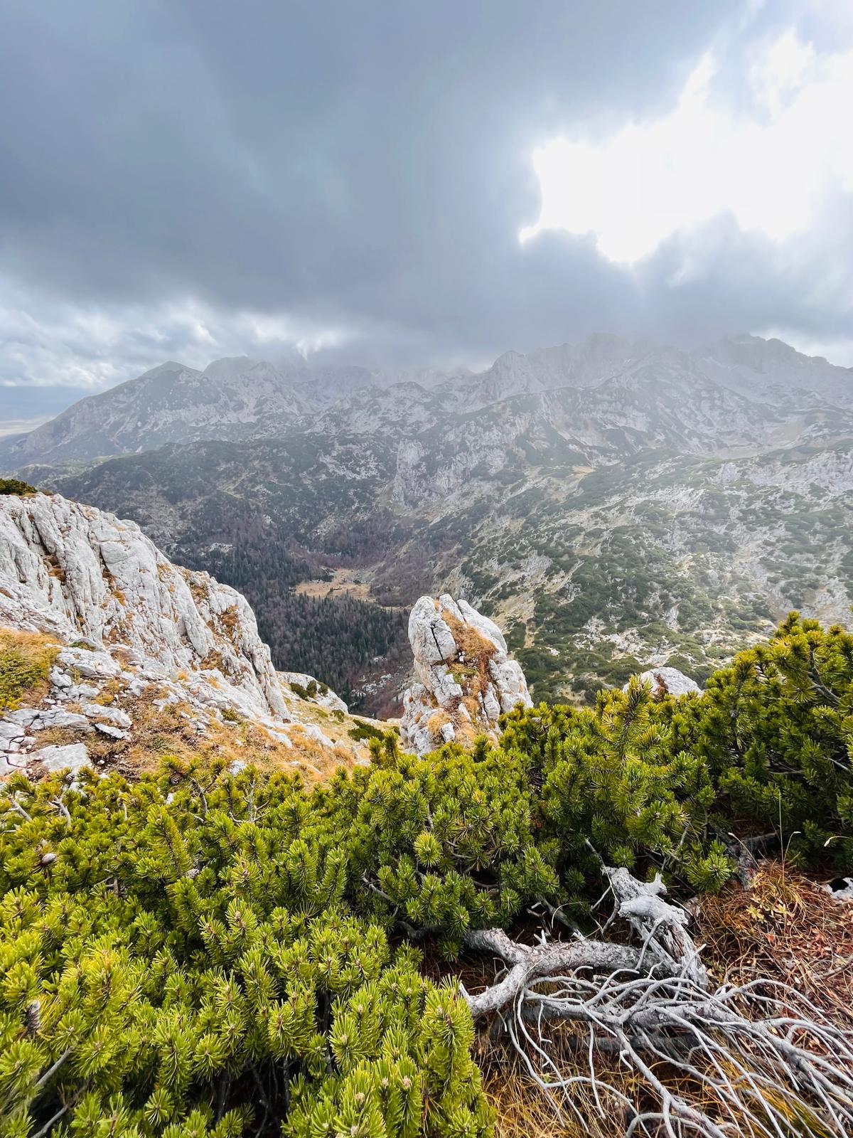

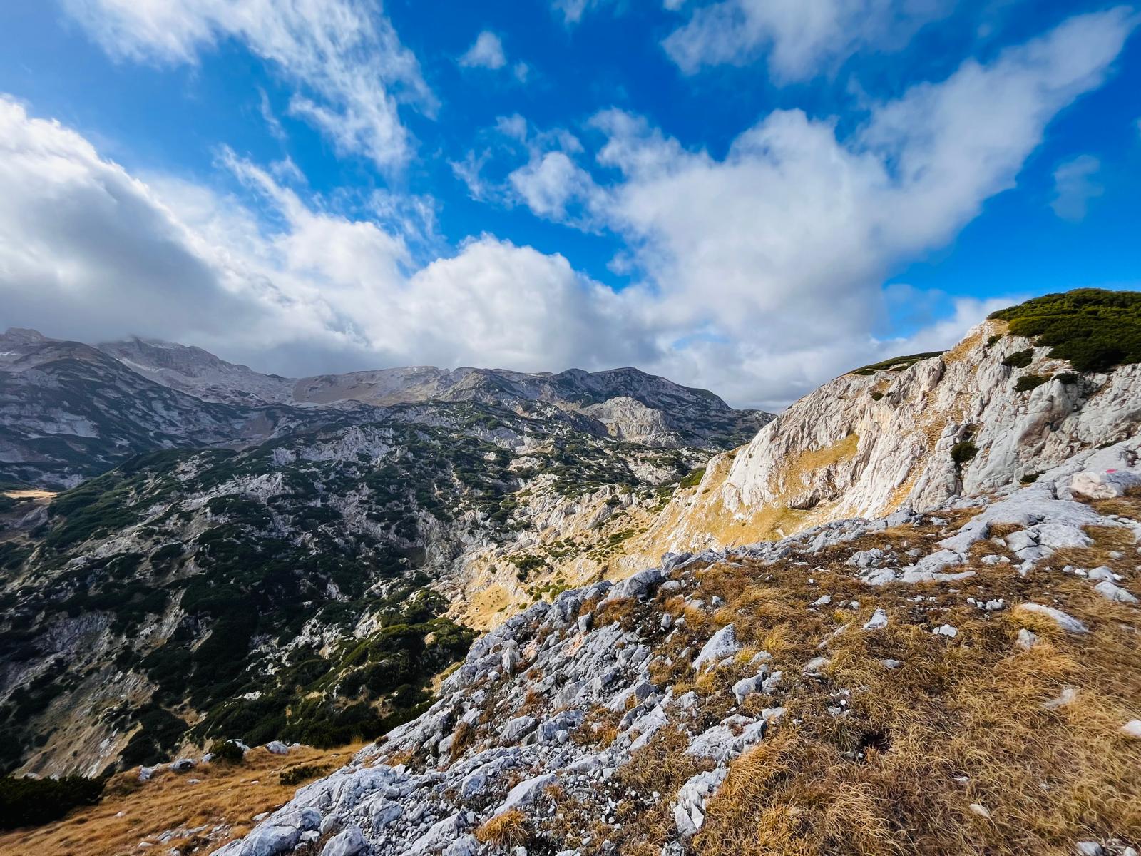
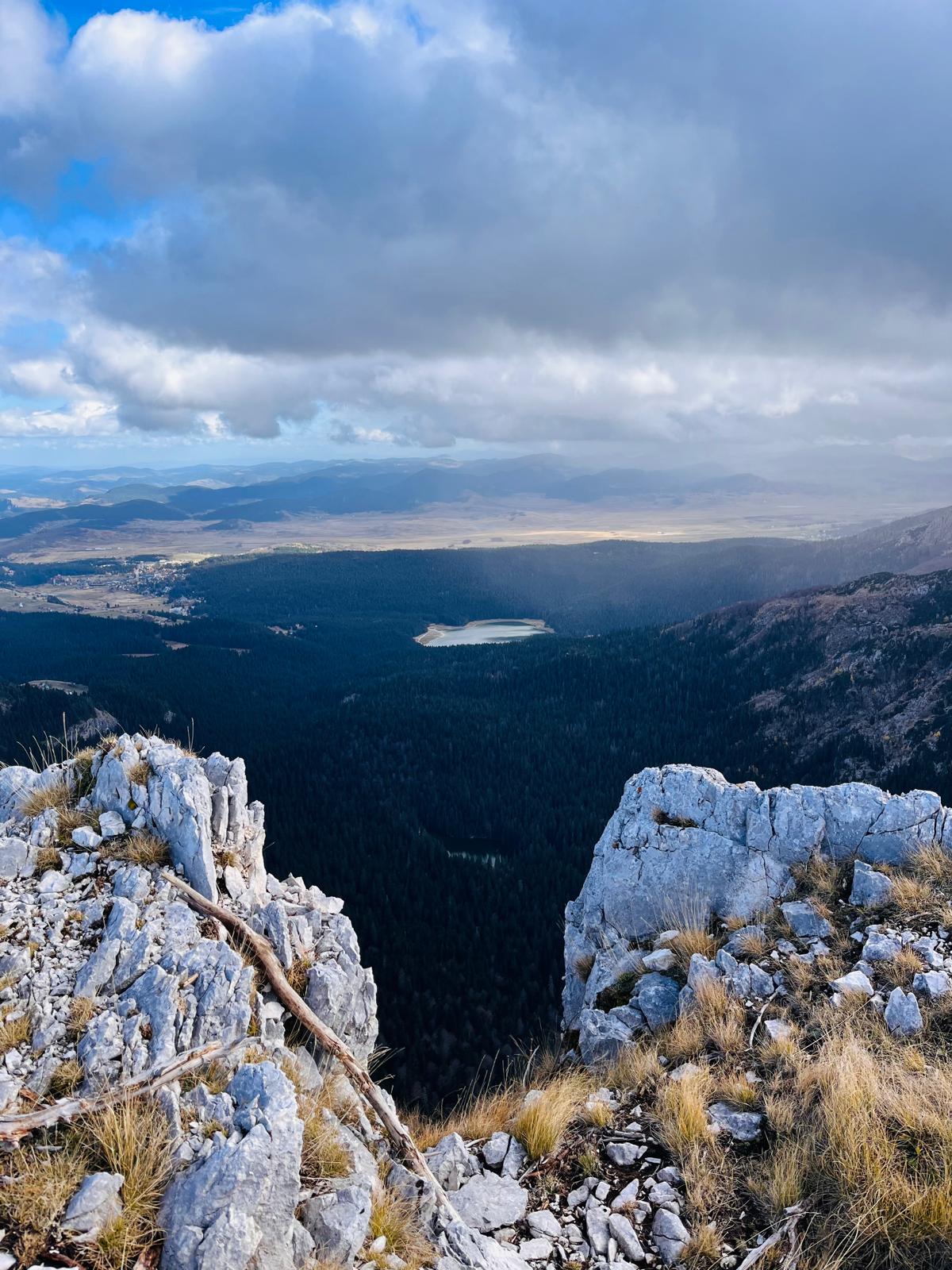
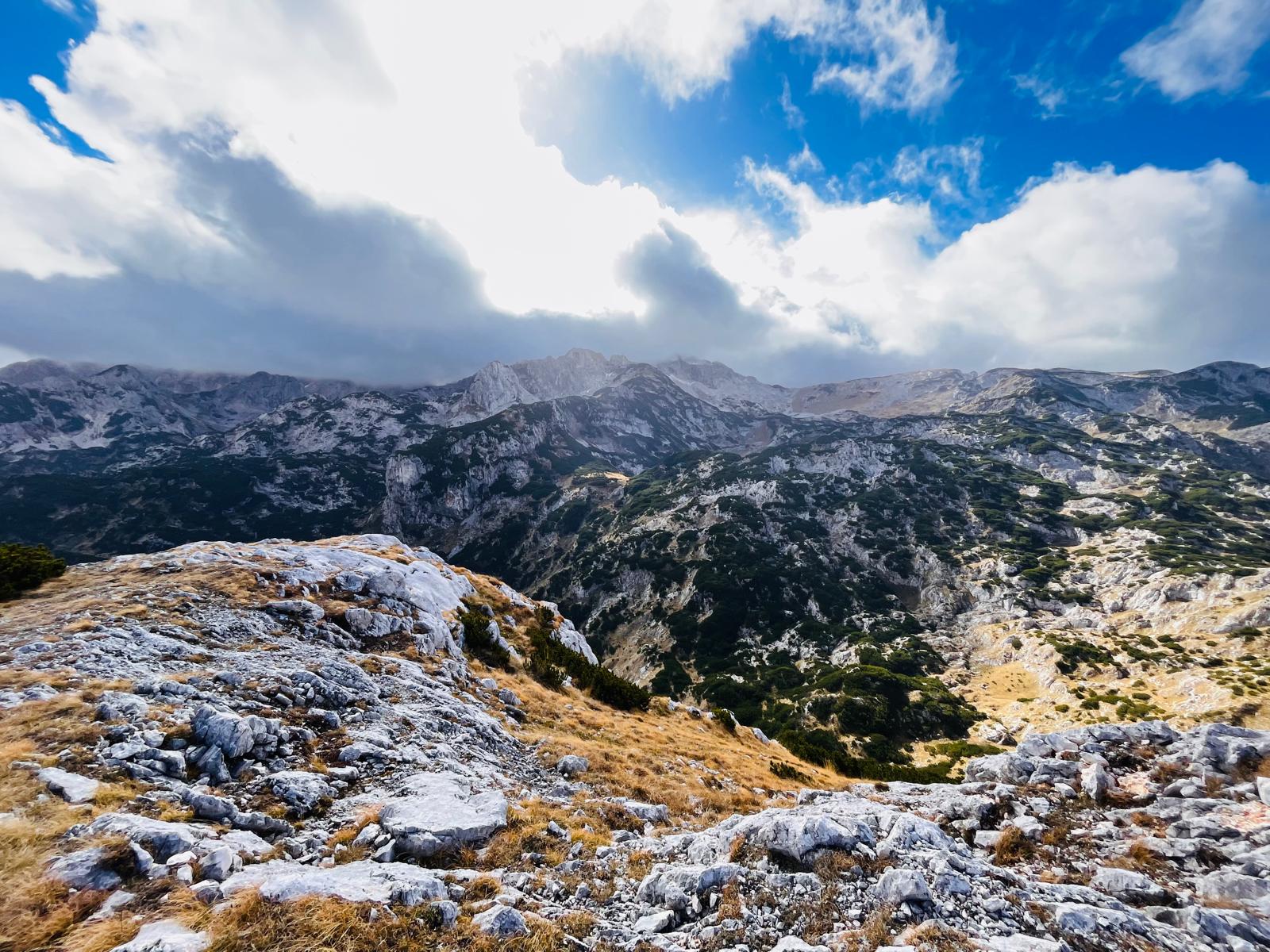
I’m experiencing all kinds of weather here—sunshine, drizzle, snow :). I’m heading back along the same route through the beautiful meadows. But I don’t forget to look back every now and then to catch one last glimpse of Crvena Greda towering above the treetops.
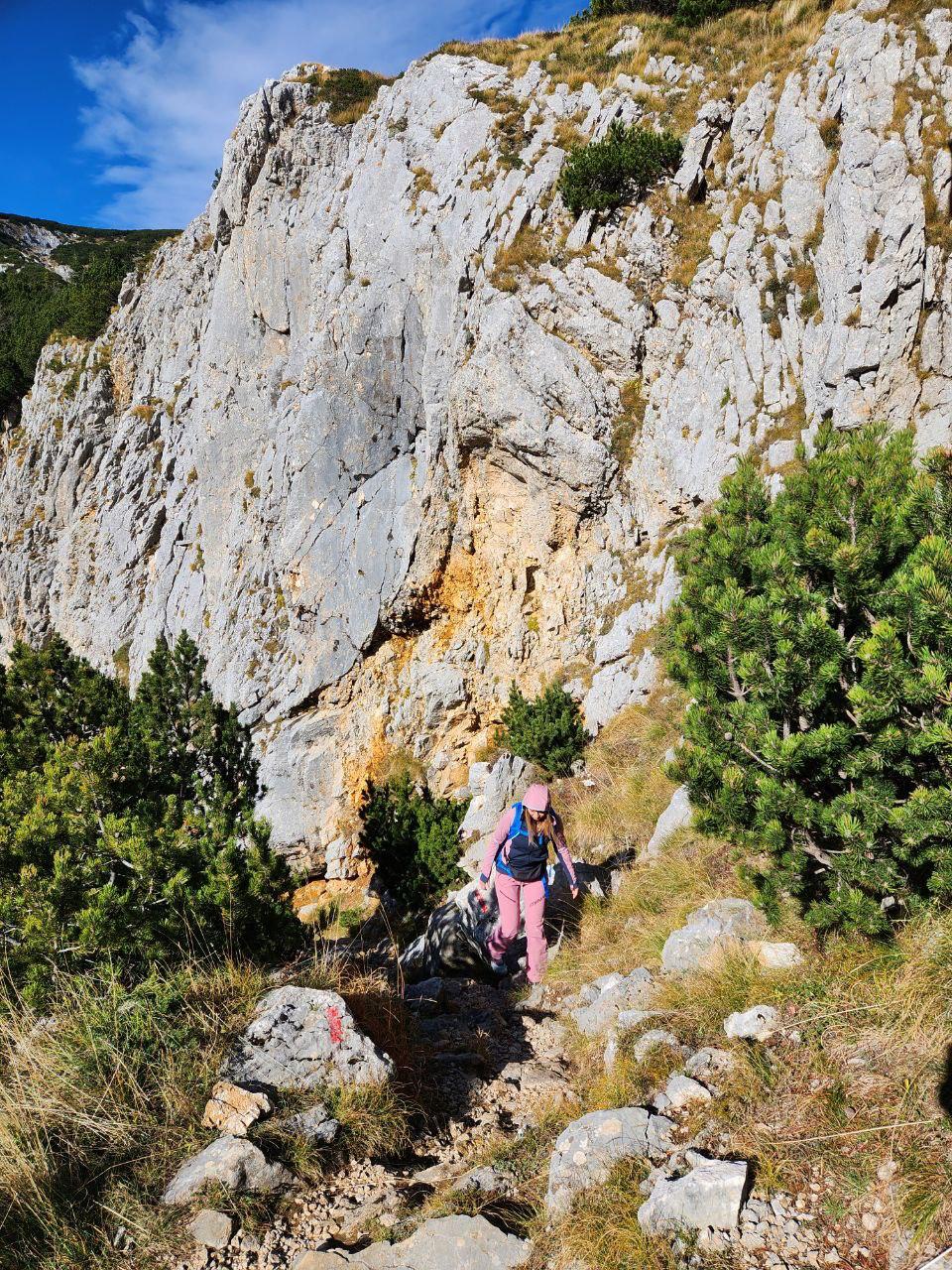
The entire route is only 8 km long and takes 4–5 hours to complete. It’s safe even for those who are afraid of heights, as long as you don’t walk right along the very edge of the cliff.
If you decide to follow in my footsteps and need advice on accommodations, food, hiking trails, or other ways to spend your time in Durmitor, feel free to contact me via email at ajka@uzisibalkaninak.com or through my Facebook page, “Enjoy the Balkans differently.”
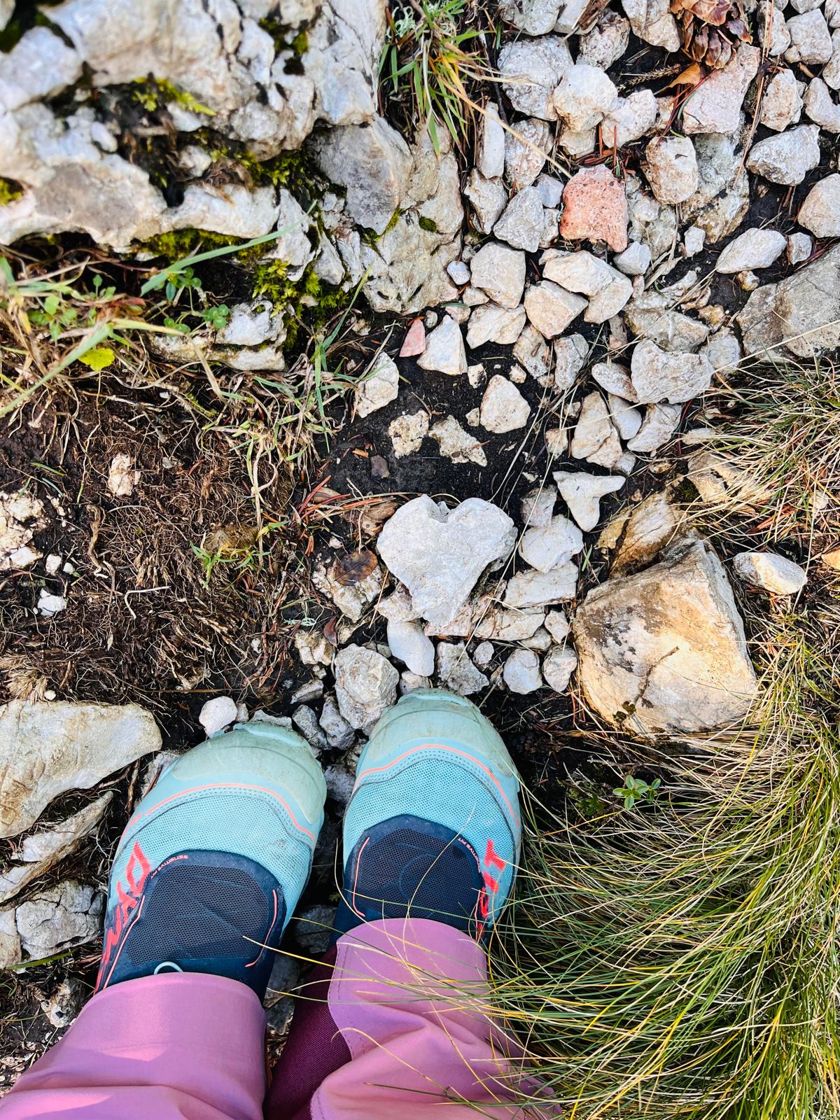
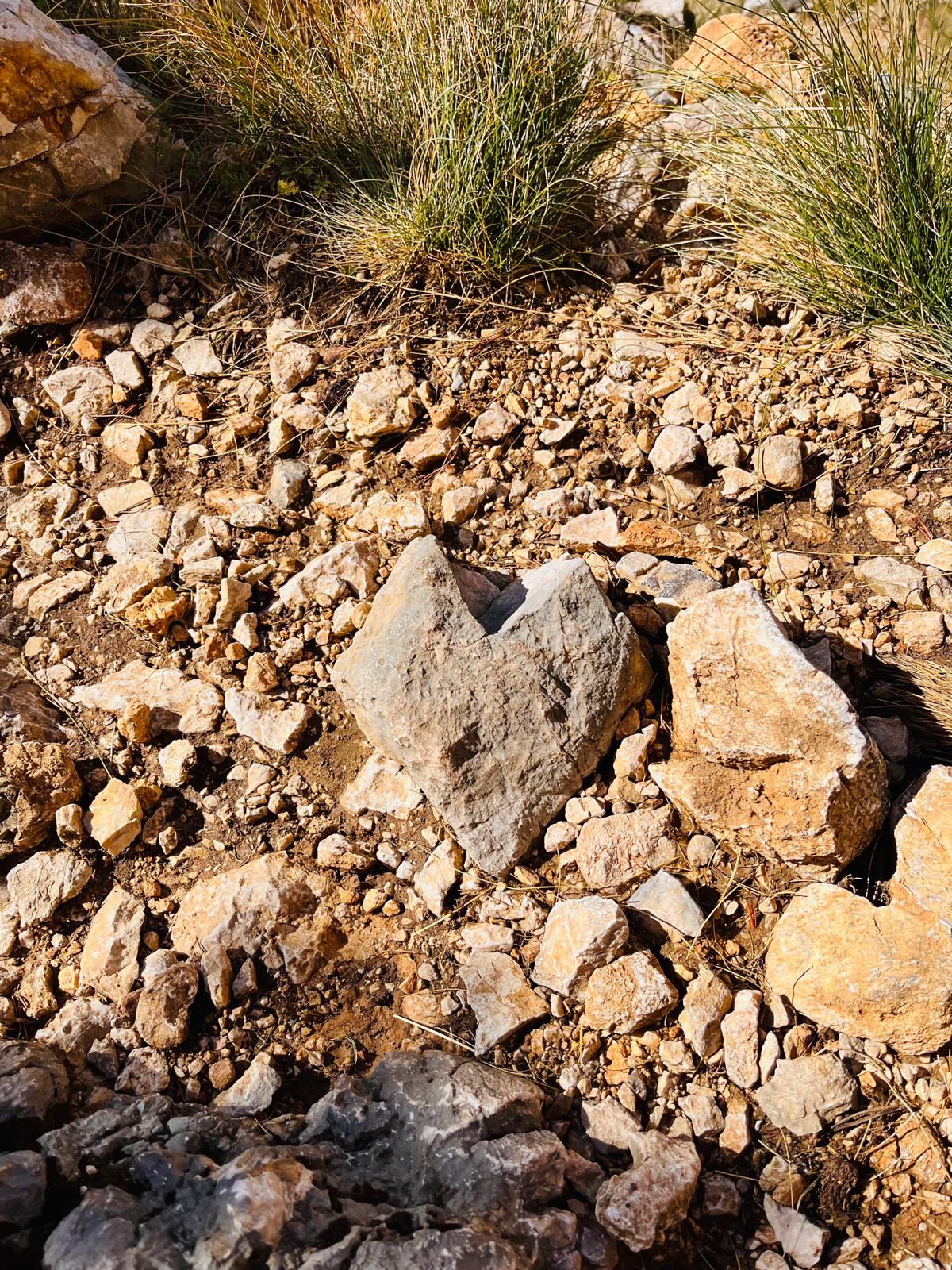
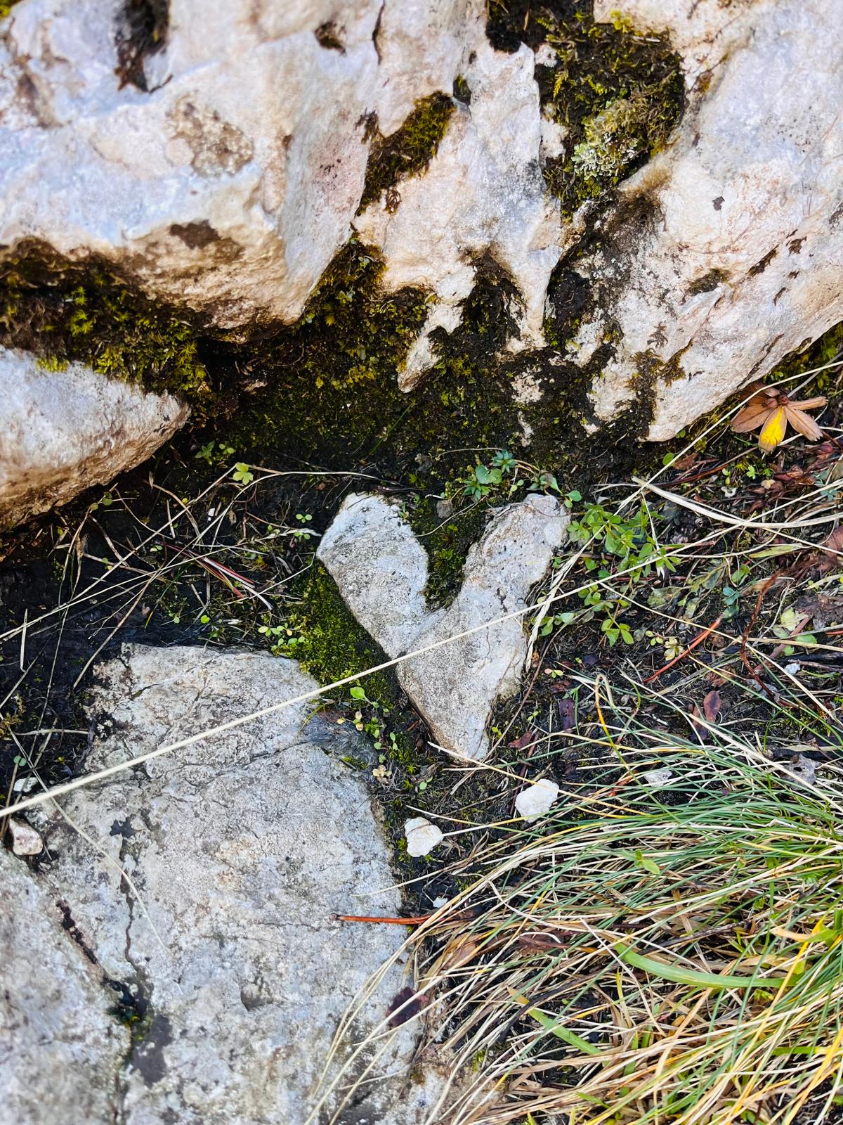
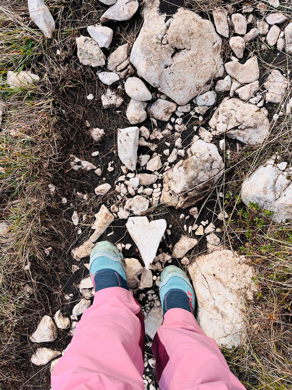
You could even call this route the “heart” route—well, judge for yourself :)…
P.S.: All photos are protected by copyright 


